What is recorded here
Associated with an earthwork (GA083-049002-). Named as 'Lisheenkyle' on 1st ed. of OS 6-inch map, but by the time of 2nd ed. (1896), the words 'Site of' have been added. No visible surface trace survives. The present landowner, who has reclaimed the surrounding fields, was advised by the previous owner to leave this field untouched because of the tradition of burial there.
The above description is derived from the published 'Archaeological Inventory of County Galway Vol. II - North Galway'. Compiled by Olive Alcock, Kathy de hÓra and Paul Gosling (Dublin: Stationery Office, 1999).
Date of upload: 05 August 2010
The monument record does not grant public access. Check the route and ask the landowner before entering private land.
- What survives
- Recorded monument
Places near here
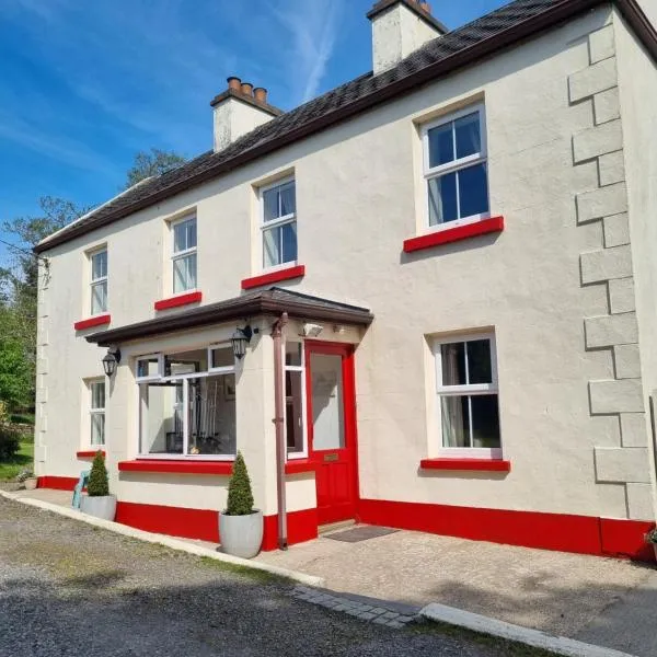 Enclosure in PalmerstownEnclosure · 1170 yd
 IndicatedFairy fort / stone ringfort · 1288 yd
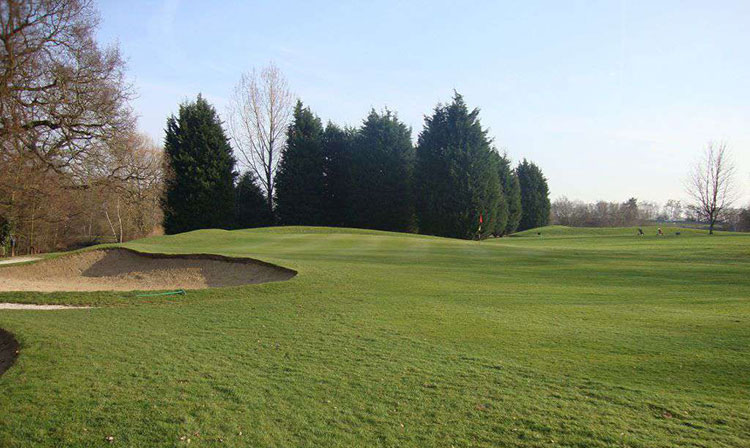 Moor Abbey (in ruins)Religious house, unclassified · 1.3 mi
 Quarry in Cashla (aughrim Ed )Quarry · 1.5 mi
 Cloghmoyle Castle (in ruins)Castle, unclassified · 1.6 mi
 Derrydonnell Castle (in ruins)Castle, tower house · 1.6 mi
 Loughaun WoodWood · 4.0 mi
 Horse-chestnutHorse-chestnut · 4.3 mi
 Athenry AbbeyHeritage attraction · 4.4 mi
 Athenry CastleHeritage attraction · 4.4 mi
 First Battle of Athenrybattle · 4.4 mi
 Rabbit IslandIslet · 6.9 mi