What is recorded here
In rough undulating pasture, on the N side of a ridge. Described during a previous inspection in 1992 as the remains of a circular flat-topped earthen mound (diam. 7m; H 1.2m) with a quarry hole (Wth 12m) cut into the S edge (SMR (1989) file). Now levelled and not visible at ground level. The quarry to S is now disused. A possible cairn (SL034-065----) lies c. 100m to SSW.
The above description is derived from the published 'Archaeological Inventory of County Sligo' compiled by Ursula Egan, Elizabeth Byrne, Mary Sleeman with Sheila Ronan and Connie Murphy (Dublin Stationery Office, 2005).
Date of upload: 18 January 2008
Neolithic passage tomb, c. 3500–2500 BCE. Its construction and associated quarry hole indicate ritual and communal activity typical of early farming communities in the region.
The monument record does not grant public access. Check the route and ask the landowner before entering private land.
- What survives
- Recorded monument
Places near here
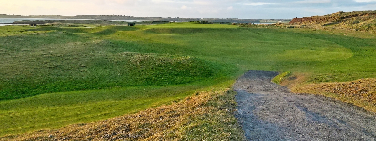 LisheenagloghFairy fort / earthen ringfort · 192 yd
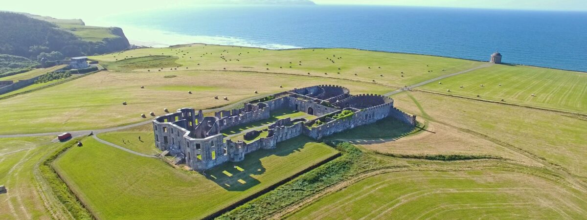 Enclosure in UmmeryroeEnclosure · 372 yd
 Penitential station in CoollemoneenPenitential station · 1150 yd
 CastleCastle, motte and bailey · 1392 yd
 Saint Columb's Catholic Churchchurch/chapel · 1755 yd
 Barroe NorthMountain / peak · 2.5 mi
 Carrane HillCliff · 2.8 mi
 Geevagh Prisoners 1908 MemorialMemorial · 2.8 mi
 Ballindoon Castle (in Ruins)Castle, unclassified · 3.2 mi
 Annaghgowla IslandIslet · 3.7 mi
 InishmoreIslet · 3.8 mi
 Riverstown Folk ParkHeritage attraction · 3.8 mi