What is recorded here
On a S-facing slope in pastureland. Named 'Lisheen' on the OS 6-inch maps, this roughly circular ring-barrow (diam. c. 20m; H 0.82m) comprises a central mound (diam. c. 4m) encircled by a fosse and external bank. A field wall overlies the bank from E through S to W. Gaps at N and S are modern. McCaffrey (1952, 25, no. 66; 1955, 222; Killanin and Duignan 1967, 190)
Compiled by: Galway Archaeological Survey, UCG
Date of upload: 9 August 2019
Lisheen, Ballynamannin is a Bronze Age ring-barrow, characterized by a central mound surrounded by a fosse and external bank. Such monuments are significant for understanding burial practices and social structures of early Irish communities.
The monument record does not grant public access. Check the route and ask the landowner before entering private land.
- What survives
- Recorded monument
Places near here
 Enclosure in BallynamanninEnclosure · 122 yd
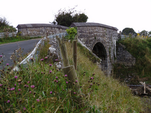 bridgebridge · 194 yd
 Ballynamannin FortFairy fort / earthen ringfort · 352 yd
 Ardnamoran ChurchChurch · 1027 yd
 CarnanthomasCastle, unclassified · 1.2 mi
 Roo Castle (in ruins)Castle, tower house · 1.6 mi
 Moyard WoodWood · 4.7 mi
 Kilcornan WoodWood · 5.2 mi
 Drumharsna CastleHeritage attraction · 5.7 mi
 MweenisharanIslet · 8.3 mi
 Mulroney's IslandIslet · 9.1 mi
 St. Cronans Holy WellHoly well · 397 yd