What is recorded here
Lisglass is a henge on a Galway rise where a children's burial ground still lies beneath the grass. The site was largely levelled before 1947, leaving only a western bank and wide ditch to mark its edge. That much of the circle disappeared while the child graves remained hidden suggests the place was never forgotten, only redesigned around what needed protecting.
On a rise in hilly grassland. Marked on the 1838 edition of the OS 6-inch map as a subcircular enclosure (c. 70m N-S; c. 68m E-W) clipped by a N-S running field boundary at NNE and SSE; partially levelled by the time of the 1947 edition. All that survives is the arc of a low bank from W to N, directly inside of which is a shallow but wide fosse (Wth 4m); otherwise no visible surface trace survives. A children's burial ground (GA117-049001-) lies within SE sector of the interior.
Compiled by: Galway Archaeological Survey, UCG
Date of upload: 2 April 2019
The monument record does not grant public access. Check the route and ask the landowner before entering private land.
- What survives
- Recorded monument
Places near here
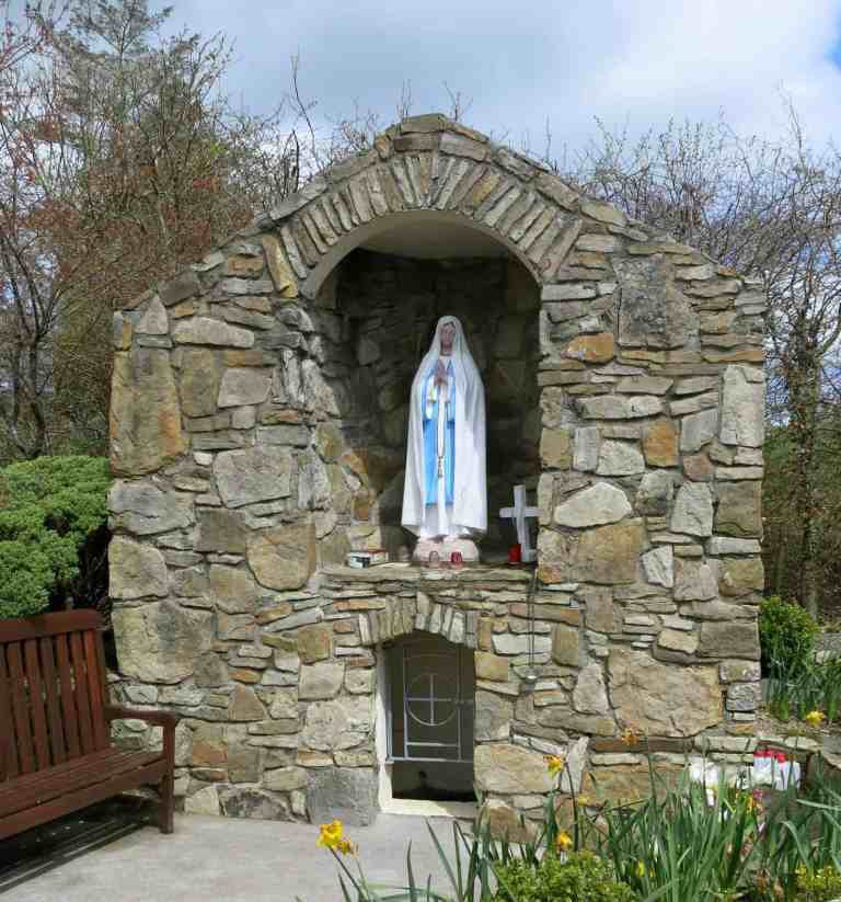 Holy WellHoly well · 558 yd
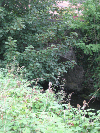 bridgebridge · 734 yd
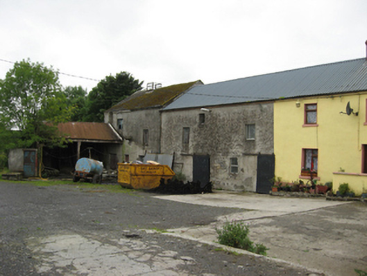 Ballycahill Millmill (water) · 738 yd
/https%3A%2F%2Ftf-cmsv2-photocontest-smithsonianmag-prod-approved.s3.amazonaws.com%2F4a10f19ddba608019749fc0e876c70704577610f.JPG) Kilmore FortEnclosure, large enclosure · 946 yd
Kilmore FortEnclosure, large enclosure · 946 yd Site of CastleCastle, unclassified · 1.7 mi
 Church HillMountain / peak · 2.6 mi
 Bog WoodForest · 3.2 mi
 Pallas CastleCastle, tower house · 3.2 mi
 Quarryhill WoodWood · 3.3 mi
 Portumna Castlegate lodge · 5.3 mi
 SpindillaunIslet · 5.8 mi
 Burke's IslandIslet · 5.9 mi