/https%3A%2F%2Ftf-cmsv2-photocontest-smithsonianmag-prod-approved.s3.amazonaws.com%2F4a10f19ddba608019749fc0e876c70704577610f.JPG)
What is recorded here
In rolling pastureland; the Kilcrow River meanders around the monument from NW to E to S. This subcircular enclosure (98.7m E-W; 86.8m N-S), in fair condition, is defined by a scarp (H 0.8m) which is overlain by a later field wall. Gaps at S and W are modern. (Killanin and Duignan 1967, 265)
Compiled by: Galway Archaeological Survey, UCG
Date of upload: 14 December 2017
The monument record does not grant public access. Check the route and ask the landowner before entering private land.
- What survives
- Recorded monument
Places near here
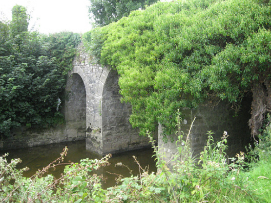 Moat Bridge or Riverstown Bridgebridge · 1046 yd
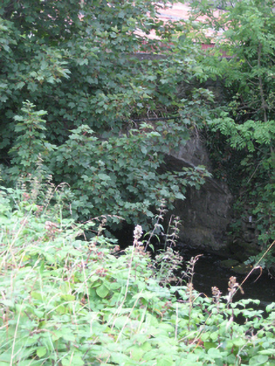 bridgebridge · 1302 yd
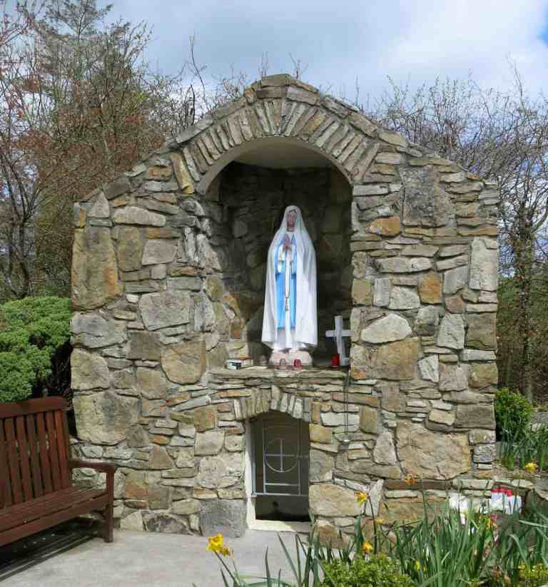 Holy WellHoly well · 1363 yd
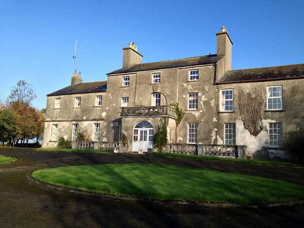 Site of Flower Hill Ho.House, 18th/19th century · 1760 yd
 Site of CastleCastle, unclassified · 1.2 mi
 Church HillMountain / peak · 2.6 mi
 Bog WoodForest · 2.7 mi
 Pallas CastleCastle, tower house · 2.7 mi
 Quarryhill WoodWood · 2.7 mi
 Stonyisland BayBay · 4.9 mi
 Portumna Castlegate lodge · 5.4 mi
 SpindillaunIslet · 5.9 mi
Other information
Photo: Credit not shown in the picture search · Rights wording not checked; contact us if this picture should be removed