What is recorded here
On a low rise in pasture 75m W of a stream that marks both the townland boundary with Ballyveloge. Annotated 'Lisduff' on the 1840 OS 6-inch map. Present remains consist of a slightly raised roughly D-shaped area (approx. diam. 56m N-S, 46m E-W) with straight side at E (approx. L 65m) enclosed by an earth and stone bank (int. H 0.7m; ext. H 1.2m; base Wth. 4.1m), fosse (base Wth. 2.6m) and an outer bank (int. H 0.8m; ext. H 0.3m; base Wth. 4.5m) with a gap (Wth. 3.5m) at W which does not appear to be original. The outer bank survives from NE through S to W and elsewhere is visible as a dry stone wall. The interior is level. Well preserved monument visible today on Google Earth orthoimage taken 2019 with field boundaries intersecting the site at W and N. The sub-triangular shape of the monument is similar in morphology to the 10-13th century plectrum-shaped ringfort/ringwork (LI006-092006-) excavated in the townland of Newtown, Co. Limerick.
See attached Google Earth orthoimage taken 19/11/2019
Compiled by: Martin Fitzpatrick
Date upload: 18 June 2020
The monument record does not grant public access. Check the route and ask the landowner before entering private land.
- What survives
- Recorded monument
Places near here
 Dotted outlineFairy fort / stone ringfort · 360 yd
 Knockanadausa FortArchaeological place · 401 yd
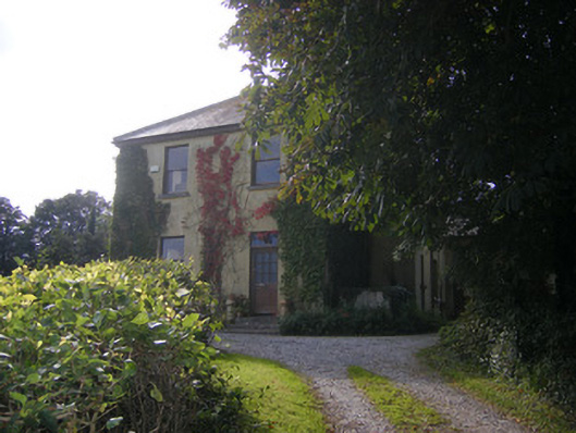 Beech Hillhouse, surgery/clinic · 1601 yd
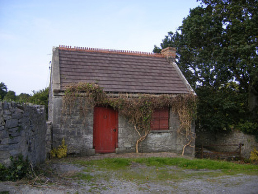 The Forgeforge/smithy · 1.1 mi
 Castle FieldCastle, unclassified · 1.8 mi
 Meelick Ho.House, fortified house · 2.4 mi
 Sailors HaggardMemorial · 3.6 mi
 Grass IslandIslet · 5.9 mi
 Maiden RockNamed rock · 6.1 mi
 Mellon PointHeadland · 6.8 mi
 Bunratty Castlehouse · 7.2 mi
 Sweet ChestnutSweet Chestnut · 7.5 mi