What is recorded here
In pasture, on SW-facing slope overlooking valley of River Feale. Sub-rectangular area (32m NE-SW; 35m NW-SE) enclosed by earthen bank (int. H 0.15m; ext. H 1.1m) on N, W and S sides, and defined by scarped edge (H 0.4m) on E side. Along N side bank has been raised (H 1.35m) to act as field boundary. Interior under pasture and slopes down gently to SW. Slight dip in bank at SE but no evident entrance feature.
Compiled by: Denis Power
Date of upload: 26 August 2011
The monument record does not grant public access. Check the route and ask the landowner before entering private land.
- What survives
- Recorded monument
Places near here
 Enclosure in Caher (connell)Enclosure · 1373 yd
 Fulacht fia in Caher (connell)Fulacht fia · 1417 yd
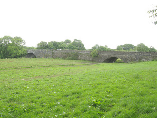 Wellesley Bridgebridge · 1.5 mi
 OutlinedChurch · 1.7 mi
 Purt CastleCastle · 4.3 mi
 Three CountiesPicnic place · 4.5 mi
 Barnagh HillMountain / peak · 5.8 mi
 Ballyplimoth CastleCastle · 8.7 mi
 Crag CaveCave · 8.7 mi
 John B. KeaneMemorial · 10 mi
 Holocaust MemorialMemorial · 10 mi
 Kerry Writers' MuseumMuseum · 11 mi