What is recorded here
On a hillock in rough pasture, with wide views. Hachured and named 'Lisboghil' on both the first edition (1842) and later, Cassini edition (1920) of the OS 6-inch map. The OS 25-inch plan (c. 1890s) records a ‘Well’ c. 20m to the SSE and a ‘Lime Kiln (Disused)’ c. 34m to the SE. Listed as 'Enclosure' in the RMP (1996). A sub-oval area (int. diams. 26.8m NNW-SSE; 21.5m ENE-WSW) is defined by a low, round-topped, steep-sided, earthen bank (Wth 2.6m; int. H 0.35m; ext. H 1m). An external berm (Wth 1-1.7m) and an outer scarp are visible from S-W-NNE and may be the remains of a fosse and a second, outer bank. The inner bank's outer face is dug away at E and WSW and is cut by several livestock gaps, and by a later trackway at NNE.
See attachment: CL008-099----_01 View of monument from NW.
Summary by: Gearóid Conroy and Conn Herriott
Date of upload: 2 December 2022
Lisboghil, Boghil is a ringfort situated on a hillock in rough pasture, likely dating to the early medieval period. The site is associated with local folklore, possibly linked to the name "Well" nearby, and its long-standing cartographic presence suggests historical and cultural significance.
The monument record does not grant public access. Check the route and ask the landowner before entering private land.
- What survives
- Recorded monument
Places near here
 Site of Fanta Cas.Castle, tower house · 361 yd
 Lisdonny WestFairy fort / earthen ringfort · 1225 yd
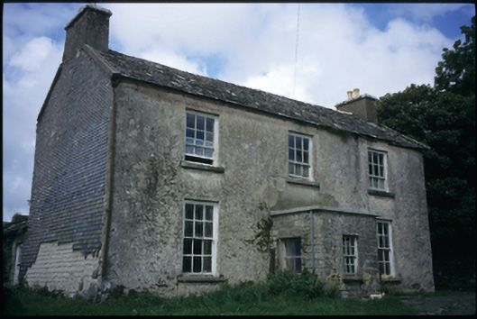 The Deaneryrectory/glebe/vicarage/curate's house · 1547 yd
 IndicatedEnclosure · 1554 yd
 Smithstown Castle (in ruins)Castle, tower house · 1.0 mi
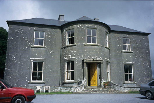 Ballykeel Housecountry house · 1.2 mi
 High CrossHeritage attraction · 1.7 mi
 Burren Centre KilfenoraVisitor information · 1.7 mi
 Ballyteigue Nature ReserveNature reserve · 1.7 mi
 Cullaun 5 (C5b)Cave · 3.8 mi
 Poll CragreaghCave · 3.9 mi
 Doolin Cave Visitor CentreHeritage attraction · 4.7 mi