What is recorded here
Lisboghil is a fairy fort on a Clare hillock, its earthen bank still standing beside a disused lime kiln and old well. Cattle have cut gaps through the ridge, yet the wide view and odd shape remain unchanged from the first maps. People may have lived inside the oval before becoming a story, but the land still keeps the boundary sharp.
On a hillock in rough pasture, with wide views. Hachured and named 'Lisboghil' on both the first edition (1842) and later, Cassini edition (1920) of the OS 6-inch map. The OS 25-inch plan (c. 1890s) records a ‘Well’ c. 20m to the SSE and a ‘Lime Kiln (Disused)’ c. 34m to the SE. Listed as 'Enclosure' in the RMP (1996). A sub-oval area (int. diams. 26.8m NNW-SSE; 21.5m ENE-WSW) is defined by a low, round-topped, steep-sided, earthen bank (Wth 2.6m; int. H 0.35m; ext. H 1m). An external berm (Wth 1-1.7m) and an outer scarp are visible from S-W-NNE and may be the remains of a fosse and a second, outer bank. The inner bank's outer face is dug away at E and WSW and is cut by several livestock gaps, and by a later trackway at NNE.
See attachment: CL008-099----_01 View of monument from NW.
Summary by: Gearóid Conroy and Conn Herriott
Date of upload: 2 December 2022
Lisboghil, Boghil is a ringfort situated on a hillock in rough pasture, likely dating to the early medieval period. The site is associated with local folklore, possibly linked to the name "Well" nearby, and its long-standing cartographic presence suggests historical and cultural significance.
The monument record does not grant public access. Check the route and ask the landowner before entering private land.
- What survives
- Recorded monument
Places near here
 Site of Fanta Cas.Castle, tower house · 361 yd
 Lisdonny WestFairy fort / earthen ringfort · 1225 yd
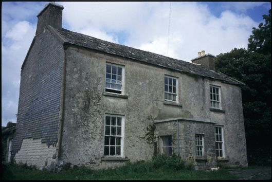 The Deaneryrectory/glebe/vicarage/curate's house · 1547 yd
 IndicatedEnclosure · 1554 yd
 Smithstown Castle (in ruins)Castle, tower house · 1.0 mi
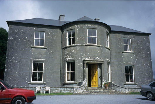 Ballykeel Housecountry house · 1.2 mi
 High CrossHeritage attraction · 1.7 mi
 Burren Centre KilfenoraVisitor information · 1.7 mi
 Ballyteigue Nature ReserveNature reserve · 1.7 mi
 Cullaun 5 (C5b)Cave · 3.8 mi
 Poll CragreaghCave · 3.9 mi
 Doolin Cave Visitor CentreHeritage attraction · 4.7 mi