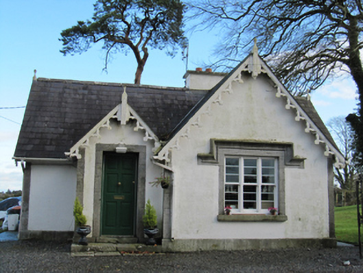
What is recorded here
Detached L-plan two-bay single-storey gate lodge, built c.1860, extended by one bay to east end of south elevation, with more recent flat-roof addition to re-entrant corner of rear. Forward-facing gables to porch recessed to front re-entrant corner of front elevation, and to bays closest to gateway, that to south elevation being slightly lower than main roof. Pitched slate roofs with rendered chimneystacks, and decoratively carved timber bargeboards and finials. Lined-and-ruled rendered walls with cut limestone quoins and plinth course. Square-headed window openings with cut limestone surrounds, sills and label-mouldings, with recent timber sliding sash windows, triple three-over-three pane to gables and south elevation addition, double three-over-three pane and two-over-two pane to middle bay of south elevation and later addition respectively, and single two-over-two pane to porch. Square-headed door opening with cut limestone surround and steps and replacement timber panelled door.
Built as a gate lodge for Lisbeg House, the modest size and considerable embellishment are typical features of the type. Design attributed to James Forth Kempster (1816-93), county surveyor for the East Riding of Co. Galway. The simple form is highlighted by tooled limestone dressings and carved timber bargeboards, showing the skill of nineteenth-century stonemasons and carpenters. One of several Victorian buildings built under the direction of the local landlord, Allan Pollok, still visible in the South-East Galway area. It forms part of a notable group with the entrance gates, Lisbeg House, the outbuildings, and the small pet cemetery.
This does not grant access. Most recorded buildings are privately owned; view them only from public ground unless the owner allows entry.
Places near here
 European ashEuropean ash · 280 yd
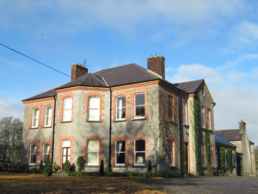 Lisbeg Housefarm house · 333 yd
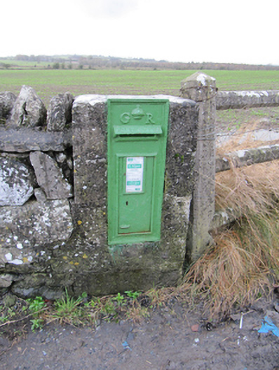 post boxpost box · 910 yd
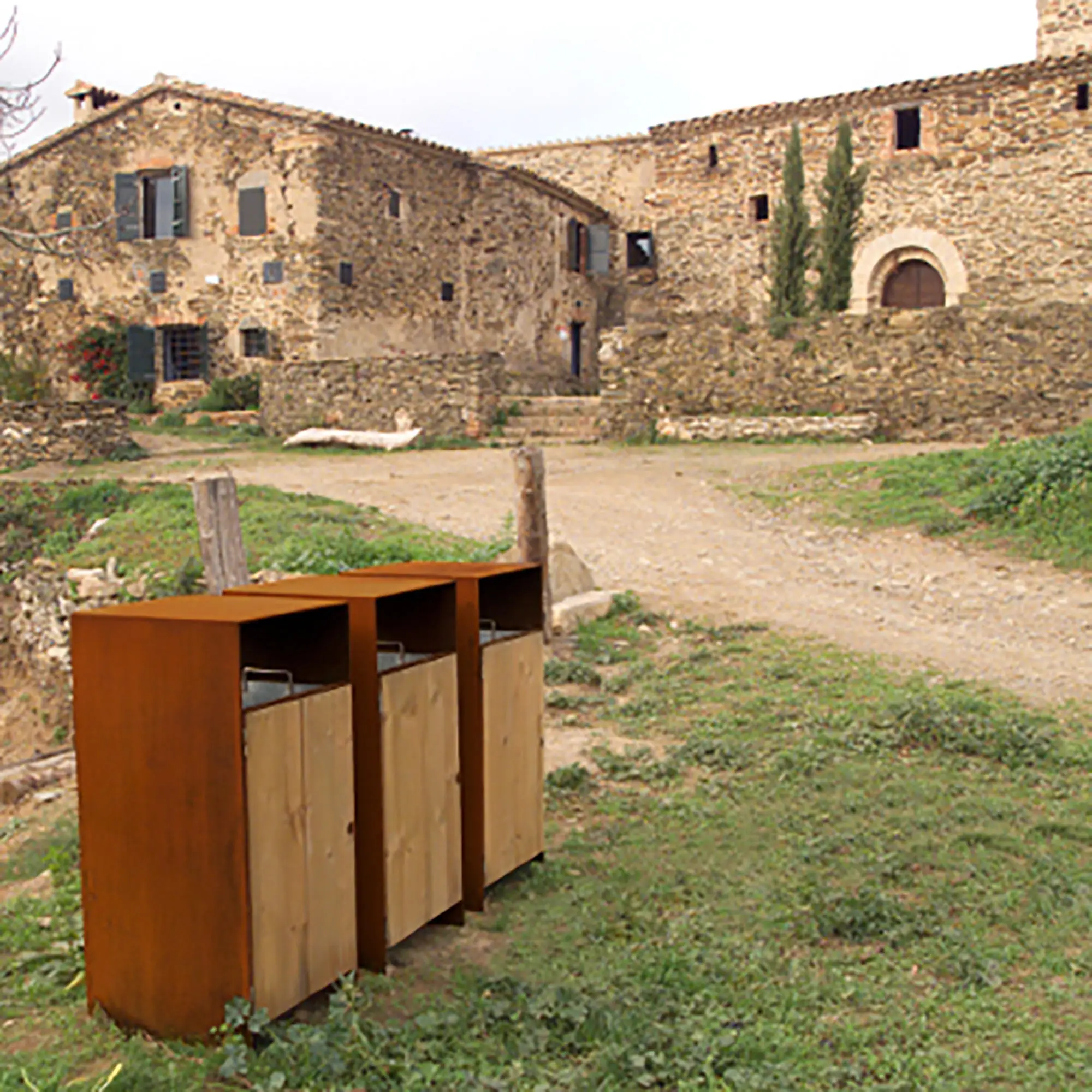 EnclosureEnclosure, large enclosure · 1070 yd
 BarrowArchaeological place · 1128 yd
 European YewEuropean Yew · 1.7 mi
 Clonfert CathedralHeritage attraction · 1.7 mi
 Redmond HillMountain / peak · 2.0 mi
 Lismore CastleCastle, tower house · 2.9 mi
 Sugarloaf HillMountain / peak · 3.0 mi
 Costello's IslandIsland · 3.2 mi
 Ballymore CastleCastle, tower house · 3.4 mi
Other information
Photo: National Inventory of Architectural Heritage · Website use allowed for educational or private purposes with source credit