
What is recorded here
Lisanroum is a vanished enclosure on a Clare plateau, mapped as a square in 1842 and a rectangle beside a sheepfold in 1897 before disappearing from later maps. The surviving sheepfold still marks the spot where human hands shaped the land, while the enclosure itself has given up its shape to grass and time.
On a plateau in rough pasture, within a multiperiod field system (CL009-022001-), with higher ground c. 50m to the W and limited views from N to E. A NNE-SSW running road lies c. 113m to the E. Depicted on the 1842 ed. of the OS 6-inch map as a roughly square-shaped enclosure (c. 15m N–S; c. 15m E–W) named ‘Lisnanroum’. On the 1897 OS 25-inch plan it is shown as a being subrectangular in plan (c. 19m N–S; c. 10m E–W), abutting the N side of a sheepfold. It is simply named ‘Lisnanroum (Site of)' on the 1920 ed. of the OS 6-inch map. This may be the location of an earthen/stone fort noted in the Ordnance Survey Letters (Comber 1997, 78) as ‘Lismandrum’. However, no visible surface trace of it survives. The sheepfold shown on the 25-inch plan is still extant.
Compiled by: Olive Alcock and Conn Herriott
Date of upload: 17 December 2021
The monument record does not grant public access. Check the route and ask the landowner before entering private land.
- What survives
- Recorded monument
Places near here
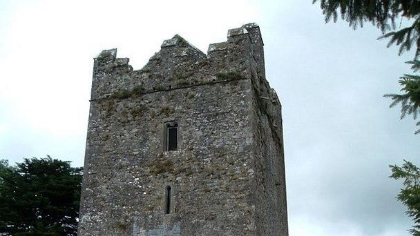 Enclosure in KilcorneyEnclosure · 358 yd
 IndicatedEnclosure · 430 yd
 Cave of the Wild HorsesCave · 932 yd
 CaherconnellHeritage attraction · 1666 yd
 Caherconnell Stone FortRuins · 1739 yd
 Carran Church (in ruins)Church · 1.2 mi
 Poulnabrone - Burren GeositeVisitor information · 1.3 mi
 The Portal TombVisitor information · 1.4 mi
 Site of Ballymurphy CastleCastle, tower house · 1.4 mi
 Poulnabrone DolmenHeritage attraction · 1.4 mi
 Gleansleade Castle (in ruins)Castle, tower house · 1.7 mi
 PoulnabroneMemorial · 2.1 mi
Other information
Photo: Credit not shown in the picture search · Rights wording not checked; contact us if this picture should be removed