What is recorded here
Scotland's National Record of the Historic Environment records Lintalee Cave as Cave (period Unassigned). The official map says its point is accurate as follows: NGR given to the nearest 10m. The record does not by itself mean that the public may enter the place.
A local cave; wider significance not recorded.
The historic-place record does not grant public access. Check current conditions and ownership before entering land or a building.
Places near here
 LinthaughCottage (19th Century) · 275 yd
 King of the WoodTree (medieval) · 609 yd
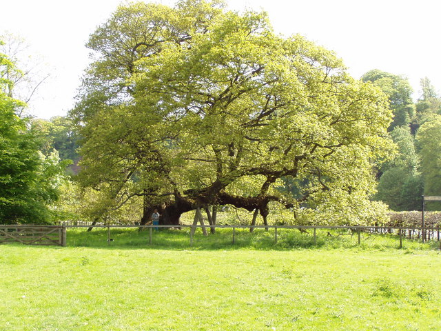 Capon TreeSessile Oak · 666 yd
 Hundalee BridgeRoad Bridge (period Unassigned) · 758 yd
 Ferniehurst CastleCastle (medieval), Chapel (17th Century), Garden Wall(s) (17th Century), Gateway (17th Century) · 781 yd
 Ferniehirst CastleCastle · 785 yd
 Sunnybraescaur PlantationForest · 793 yd
 Little DeanSettlement (period Unassigned) · 1555 yd
 Jedburgh AbbeyBoundary Wall (period Unassigned) · 1.2 mi
 Jedburgh War MemorialMemorial · 1.3 mi
 Jedburgh, Exchange StreetNo Class (event) (period Unassigned) · 1.3 mi
 Jubilee FountainMemorial · 1.3 mi