What is recorded here
The removal of 18th century houses on Bailey's New St. and their cellars under the supervision of Orla Scully (Licence No. 99E0103) left very little of the site undisturbed (Scully 2000). Nevertheless, further work by Mary O'Donnell under the same licence revealed a ditch (Wth 5.7m; D 1.3m) running N-S and almost perpendicaular to but inside the line of the town wall, which is c. 5m to the SE. It contained material from the 10th to the 13th century. Another parallel fosse lay largely outside the site to the E, but both ditches would seem to be cutting off Dundory, the E apex of the Viking town around Reginald's Tower (WA009-005001-), c. 70m to the NE. The foundations of house (WA009-005066-) were identified on the same site. (O'Donnell, 2000, 294-5, No. 851)
O'Donnell, M. (2000) Bailey's New Street, Waterford. Urban. in I. Bennett (Ed.) Excavations 1999: summary accounts of excavations in Ireland, 294-5, No. 851.
Scully, O. (2000) Bailey's New Street, Waterford. Urban medieval, post-medieval. in I. Bennett (Ed.) Excavations 1999: summary accounts of excavations in Ireland, 294, No. 850. Wordwell. Bray.
Compiled by: Michael Moore
Date of upload: 07 December 2010
The monument record does not grant public access. Check the route and ask the landowner before entering private land.
- What survives
- Recorded monument
Places near here
 Waterford City Hall and Theatre Royalassembly rooms · 32 yd
 Viking ExperienceHeritage attraction · 37 yd
 Medieval MuseumMuseum · 39 yd
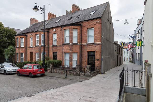 Aherlow Househouse · 41 yd
 Stephen de FulburnMemorial · 49 yd
 Town defences in Waterford CityTown defences · 76 yd
 CathCathedral · 85 yd
 Viking TriangleVisitor information · 98 yd
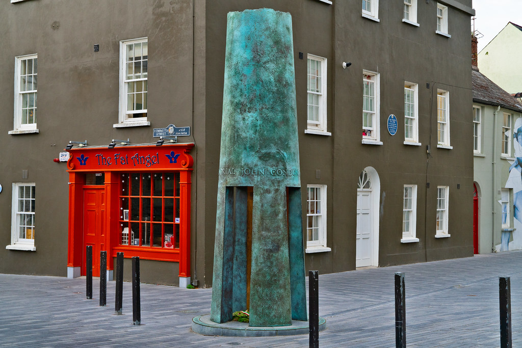 John Condon MemorialMemorial · 113 yd
 Pedunculate OakPedunculate Oak · 408 yd
 Slí na SláinteVisitor information · 439 yd
 Granny CastleCastle, tower house · 2.7 mi