What is recorded here
A broad raised linear feature running E-W (L c. 200m) was identified from Lidar coverage (Davies, S. et al 2010, 180).
The monument record does not grant public access. Check the route and ask the landowner before entering private land.
- What survives
- Recorded monument
Places near here
 DronehengeArchaeological place · 20 yd
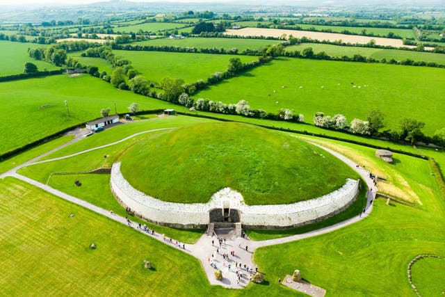 Fairy fort / earthen ringfort in NewgrangeFairy fort / earthen ringfort · 88 yd
 NewgrangeHeritage attraction · 830 yd
 Mill Housemill (water) · 833 yd
 Boyne Currach CentreHeritage attraction · 1401 yd
 Catholic Church of the Nativity of Our Ladychurch/chapel · 1491 yd
 Knowth Fox CovertWood · 1656 yd
 Brú na Bóinne Visitors CentreVisitor information · 1.3 mi
 Dowth CastleCastle, tower house · 1.7 mi
 Glenmore ForestWood · 2.4 mi
 Fennor CastleCastle · 2.6 mi
 RiverviewMemorial · 2.8 mi