What is recorded here
On a fairly steep S-facing slope of a valley, in pasture. Two parallel lines (L c. 70m; Wth apart c. 20) identified as cropmarks on an aerial photograph (GSI roll 43, print 20) running NNE-SSW c. 15m SW of a circular enclosure (KK009-011001-). These are not visible at ground level.
Compiled by: Jean Farrelly
Date of upload: 29 January 2018
The monument record does not grant public access. Check the route and ask the landowner before entering private land.
- What survives
- Recorded monument
Places near here
 Enclosure in LisdowneyEnclosure · 78 yd
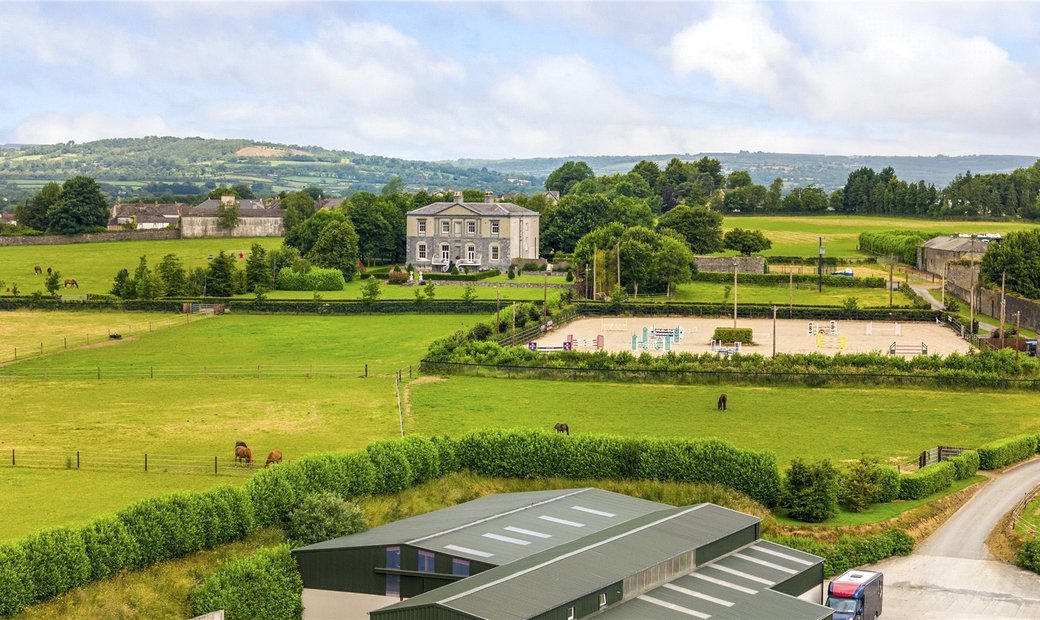 Enclosure in BallygowneyEnclosure · 1374 yd
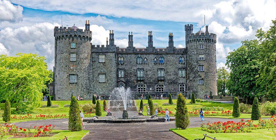 CastleCastle, unclassified · 1.4 mi
 Church (in ruins)Church · 1.4 mi
 Foyle Bridgebridge · 1.6 mi
 Bawn in BallykealyBawn · 1.8 mi
 Street fieldArchaeological place · 3.3 mi
 Anker's IslandIsland · 3.9 mi
 Clomantagh HillMountain / peak · 4.2 mi
 The CopseWood · 4.4 mi
 John HelyMemorial · 5.4 mi
 DelaneyMemorial · 5.4 mi