What is recorded here
A low relief, double banked curvilinear feature (L c. 150m plus) N of Dowth passage tomb was identified from LiDAR coverage (Davies, S. et al 2010, 168-9, D8-ii).
The monument record does not grant public access. Check the route and ask the landowner before entering private land.
- What survives
- Recorded monument
Places near here
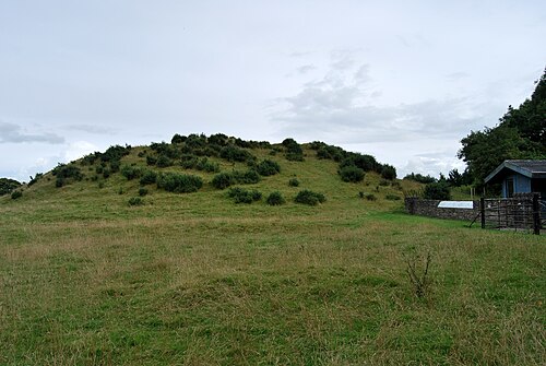 DowthNeolithic passage tomb · 621 yd
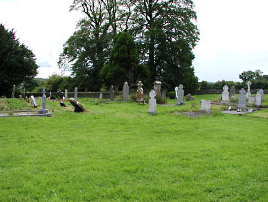 Netterville Manorgraveyard/cemetery · 652 yd
 St. Bernards WellHoly well · 658 yd
 Church (in Ruins)Church · 663 yd
 Dowth CastleCastle, tower house · 679 yd
 Not inidicatedEnclosure · 1259 yd
 Brú na Bóinne Visitor Centre AccessHeritage attraction · 1615 yd
 Brú na Bóinne Visitors CentreVisitor information · 1656 yd
 Proudfootstown CastleCastle, unclassified · 1.1 mi
 Glenmore ForestWood · 1.2 mi
 European YewEuropean Yew · 1.6 mi
 Battle of the BoyneMajor battlefield · 1.7 mi