What is recorded here
The official Northern Ireland record identifies this as LIME KILN. Recorded period: UNCERTAIN. The official map point was placed at the centre of the recorded archaeological site from the source map reference.
The monument record does not grant public access. Check the route and ask the landowner before entering private land.
- What survives
- Recorded monument
Places near here
 Fad IslandIslet · 325 yd
 Rush IslandIslet · 412 yd
 PENAL SITE: ALTAR PARK in DrumgrenaghanPENAL SITE: ALTAR PARK · 1.1 mi
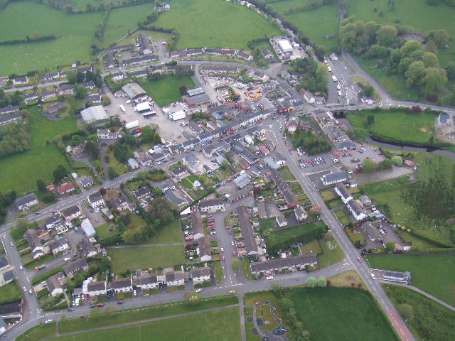 Kesh ForestForest · 1.6 mi
 AP Cropmark- Possible rath/ circular enclosure in AghahannaghAP Cropmark- Possible rath/ circular enclosure · 1.7 mi
 Crevenish CastleHeritage attraction · 2.0 mi
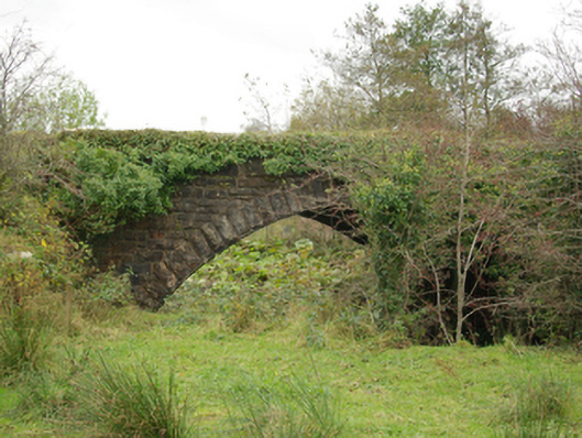 Pettigoe Railway Bridgebridge · 2.1 mi
 The Station Houserailway station · 2.2 mi
 Drumharriff WoodForest recreation place · 2.3 mi
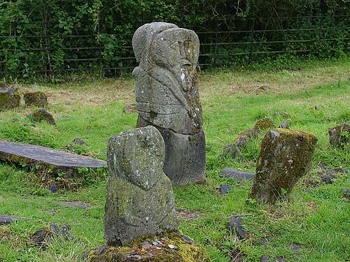 Boa IslandIsland · 2.4 mi
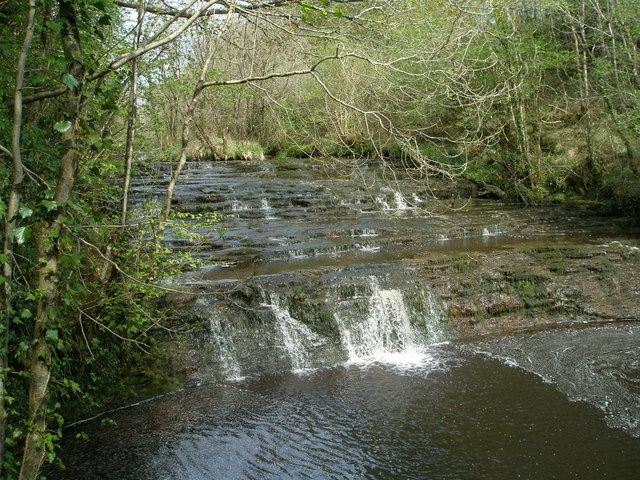 Drummoney WaterfallWaterfall · 2.5 mi
 Castle McGrathCastle · 2.7 mi