What is recorded here
Square stones in Lislea may have supported a windmill or shaped a garden long before memory reached them. The uncertainty itself belongs to the place: a room without walls, a function withheld. Whoever built it understood geometry and departure. They left the meaning buried under grass, waiting for someone stubborn enough to ask again.
The official Northern Ireland record identifies this as LiDAR Site: Square feature (possibly remains of windmill base or a landscaping feature?). Recorded period: UNCERTAIN. The official map point was placed at the centre of the recorded archaeological site from the source map reference.
The monument record does not grant public access. Check the route and ask the landowner before entering private land.
- What survives
- Recorded monument
Places near here
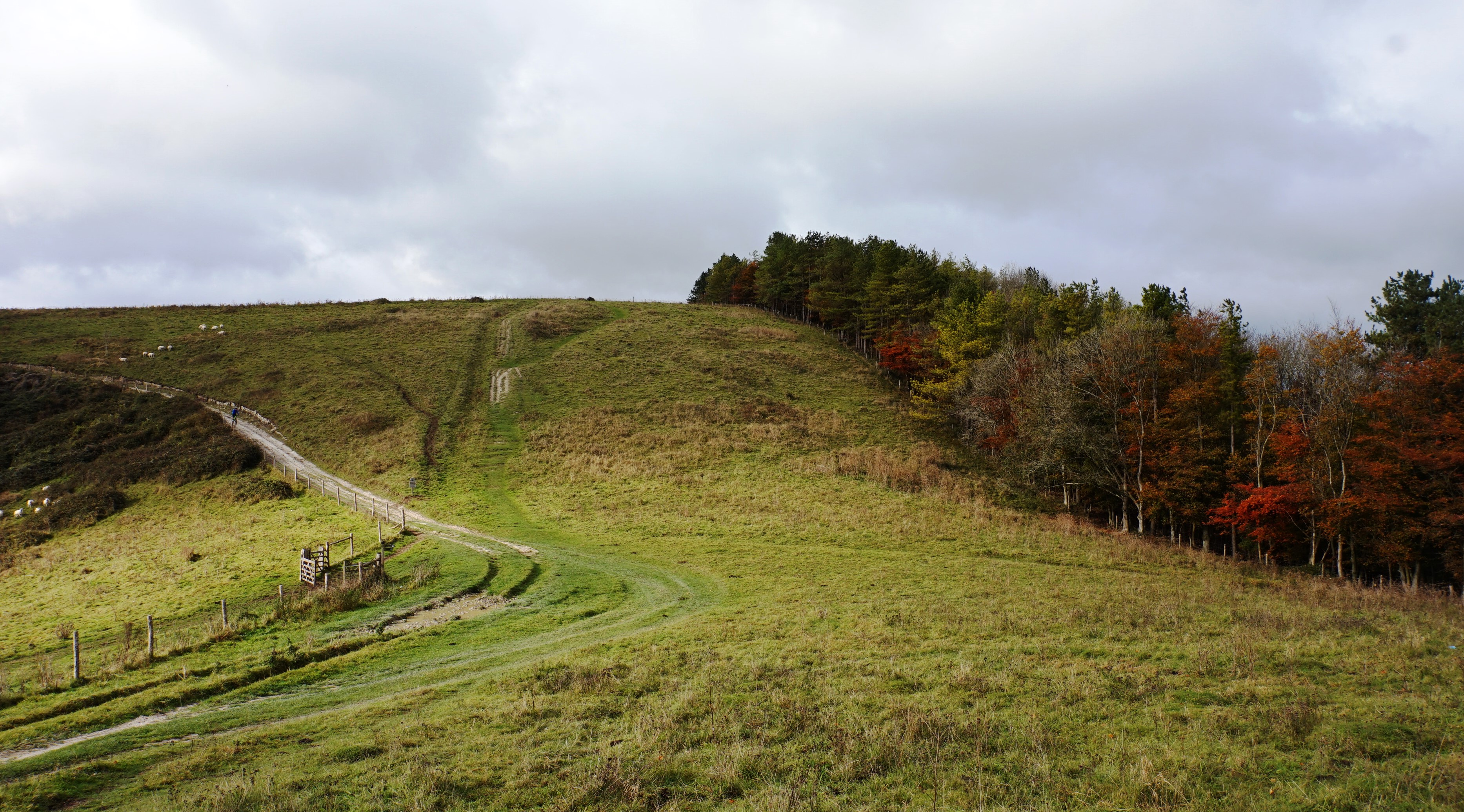 LARGE HILLTOP ENCLOSURE in LisleaLARGE HILLTOP ENCLOSURE · 134 yd
 Black Pig's DykeArchaeological place · 364 yd
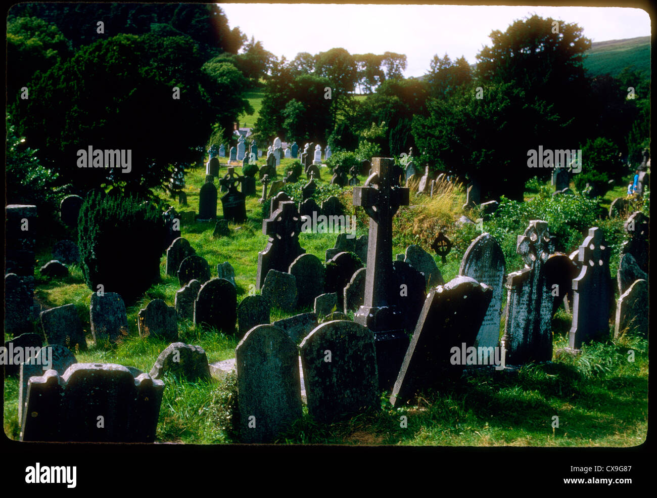 Clontivrin Grave YardArchaeological place · 1465 yd
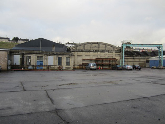 Clones Railway Stationlocomotive shed · 1.2 mi
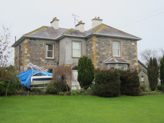 The Mansemanse · 1.2 mi
 CastleCastle, motte and bailey · 1.4 mi
 Ulster Canal Stores Visitor CentreHeritage attraction · 1.5 mi
 The Cassandra Hand CentreMuseum · 1.5 mi
 Bawn in CrossmoyleBawn · 1.5 mi
 Mullaghmore WoodWood · 3.4 mi
 Saint John's WellSpring · 3.4 mi
 European ashEuropean ash · 3.6 mi