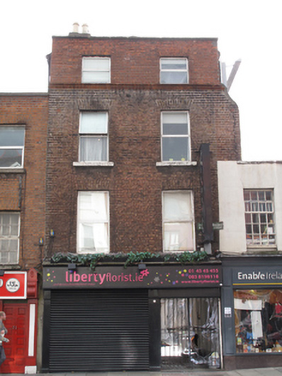
What is recorded here
Terraced two-bay four-storey former house with integral carriage opening, built c.1750, having recent shopfront to front (north) elevation. Now in use as shop. Hipped artificial slate roof, set perpendicular to street, with rendered chimneystacks having clay chimneypots. Red brick parapet having granite coping and moulded red brick cornice forming continuous sill course to third floor windows. Red brick laid in Flemish bond to front, rebuilt to third floor. Rendered walls to east and west elevations. Square-headed window openings with painted masonry sills and replacement uPVC windows.
Dublin Civic Trust, in the 'Survey of Gable-Fronted House and Other Early Buildings of Dublin City' 2012, states 'The unassuming facade of this former townhouse belies a relatively early build date. The steep roof with ridge perpendicular to the street, the large central chimneystack and the rebuilding of the third floor all suggest either a modified formerly gabled house of the early eighteenth-century or a transitional style house of a similar form to today of c.1740-60. The fragment of matching brickwork extending over the adjacent, slightly smaller, property indicates this house was built as a pair with No.69, of which the ground and first floors only survive. This is further confirmed by photographic evidence from the 1950s. The brickwork retains expansive sections of original lime wigging and is one of the best examples of authentic brick jointing surviving on Thomas Street. The laneway of Madden’s Court incorporated at ground floor level is a further point of interest and connection with the early origins of Thomas Street, and may yield clues about the morphology of this site.' Thomas Streetdeveloped along the ancient Slige Mor highway to the west, and was named after an Abbey dedicated to SaintThomas the Martyr, which was established in the area in 1177. The city water course partially ran along thestreet until it was paved over in 1696, and the ready availability of water contributed to the development of thestreet as a centre of brewing and distilling.
This does not grant access. Most recorded buildings are privately owned; view them only from public ground unless the owner allows entry.
Places near here
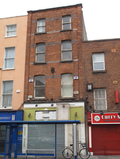 The Ferocious Mingle Marcadehouse · 10 yd
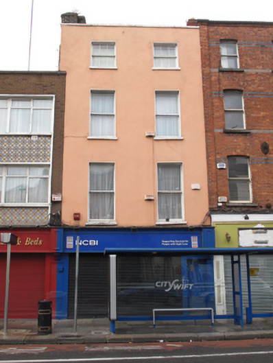 NCBI Charity Shophouse · 17 yd
 Medieval DublinVisitor information · 124 yd
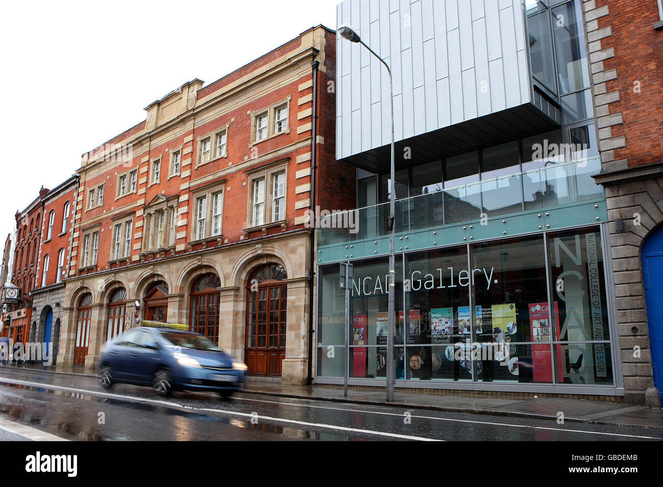 NCAD GalleryGallery · 136 yd
 Gairdín Súgartha i gCuimhne ar na Páistí a Cailleadh in 1916Memorial · 165 yd
 Cross-slab in Unknown TownlandCross-slab · 221 yd
 Font in Unknown TownlandFont · 221 yd
 St Audoen’s ChurchMuseum · 222 yd
 Site of Saint Patrick's wellMemorial · 487 yd
 European PearEuropean Pear · 532 yd
 CastleCastle, unclassified · 1031 yd
 London PlaneLondon Plane · 1161 yd
Other information
Photo: National Inventory of Architectural Heritage · Website use allowed for educational or private purposes with source credit