What is recorded here
Lecale Way is recorded as a walking route in County Down. Its open map record supplies this location and any linked names or public references.
- Distance
- 66 km
Places near here
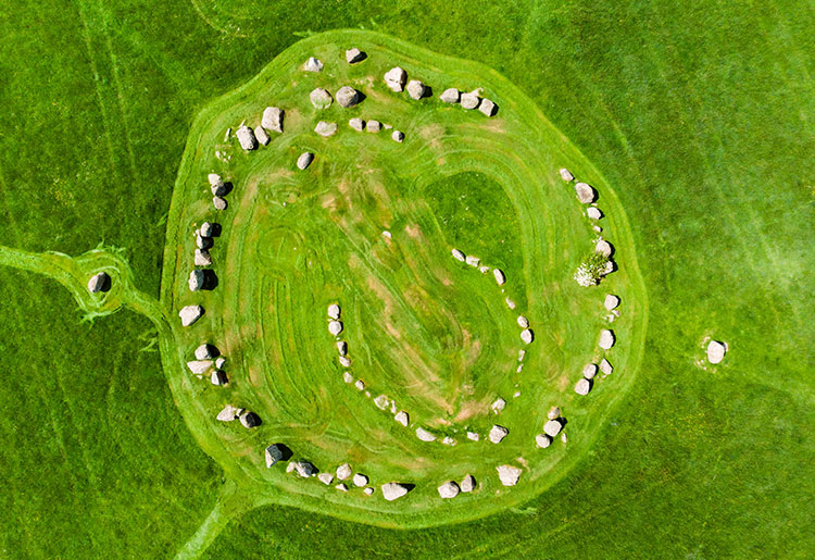
 STONE CIRCLE with CAIRN & OUTLYING STONES: BALLYNOE STONE CIRCLE in BallynoeSTONE CIRCLE with CAIRN & OUTLYING STONES: BALLYNOE STONE CIRCLE · 916 yd
 Ballynoe Stone CircleArchaeological place · 919 yd
 MEDIEVAL CHURCH: KILSCHAELYN in BallynoeMEDIEVAL CHURCH: KILSCHAELYN · 1328 yd
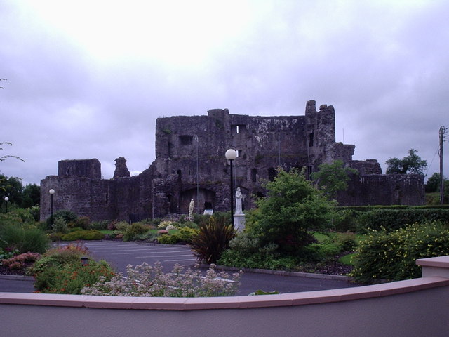 CASTLE? in Ballymote MiddleCASTLE? · 1.1 mi
 Castle ScreenCastle · 1.4 mi
 MEDIEVAL CHURCH: BALIDUGAN (unlocated) in BallyduganMEDIEVAL CHURCH: BALIDUGAN (unlocated) · 1.6 mi
 Downshire Hospital Highway to HealthWalking route · 2.1 mi
 Hollymount ForestWood · 2.1 mi
 St. Patrick's GraveHeritage attraction · 2.2 mi
 St. Patricks Visitor CentreMuseum · 2.2 mi
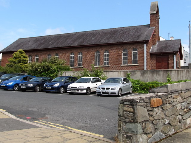 Scotch Street Car ParkVisitor information · 2.3 mi
 St Margaret's Down Parish ChurchVisitor information · 2.3 mi