What is recorded here
Lear is recorded as a mountain / peak in County Cavan. Its open map record supplies this location and any linked names or public references.
Lear is a low-lying peak in County Cavan, likely under 400 meters, with no significant prominence in the regional landscape. The name may derive from a local or historical figure, though no detailed folklore or geological studies are widely recorded. Its inclusion in early maps suggests it was a locally recognized landmark, though its wider significance remains unclear.
Places near here
 Drumbannan FortArchaeological place · 896 yd
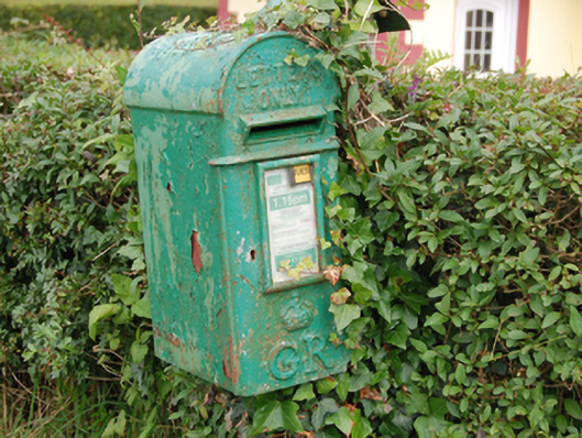 post boxpost box · 1002 yd
 Rebel HillMemorial · 1164 yd
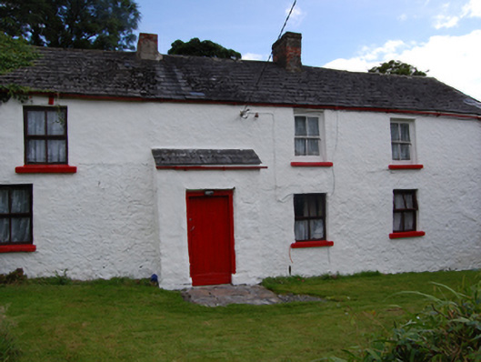 farm housefarm house · 1220 yd
 Welcome to Bailieborough DemesneVisitor information · 1269 yd
 Castle Lake ForestForest · 1375 yd
 In Memory of Patrick KiernanMemorial · 1476 yd
 Brothers GravesVisitor information · 1658 yd
 Crocknahattin ForestForest · 1.1 mi
 CorglassMountain / peak · 1.3 mi
 CastleCastle, motte · 1.5 mi
 IndicatedFairy fort / earthen ringfort · 1.7 mi