What is recorded here
Leacht and Cross-Inscribed Pillar: The leacht (KE088-015003-) is poorly preserved and is located approximately midway between the two rectangular buildings. It appears to have originally consisted of a nearly square platform of stones, c. 3.5m x 3.5m x .4m high, the sides of which were retained by a series of large upright slabs set end-to-end. These slabs survive best at S and W, though a number incline markedly outwards. The core of the structure is visible as a mass of small stones which includes much quartz. A slab bearing a circular perforation, .03m in diameter, lies on the surface of the leacht, while another, with a .09m wide circular perforation, lies just outside its SE corner. These slabs may derive from a gable-shrine, like the example on the leacht at nearby Killoluaig (KE088-010002-).
See attached plan of monument taken from O'Sullivan and Sheehan 1996, Fig. 144
The above description is derived from A. O'Sullivan and J. Sheehan (compilers), 'The Iveragh peninsula: an archaeological survey of South Kerry'. Cork University Press (1996), no. 922. In certain instances the entries have been revised and updated in the light of recent research.
Date of upload: 29 July 2013
The monument record does not grant public access. Check the route and ask the landowner before entering private land.
- What survives
- Recorded monument
Places near here
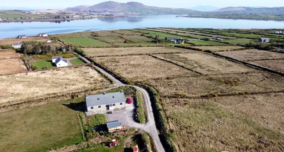 Shrine in AghatubridShrine · 1 yd
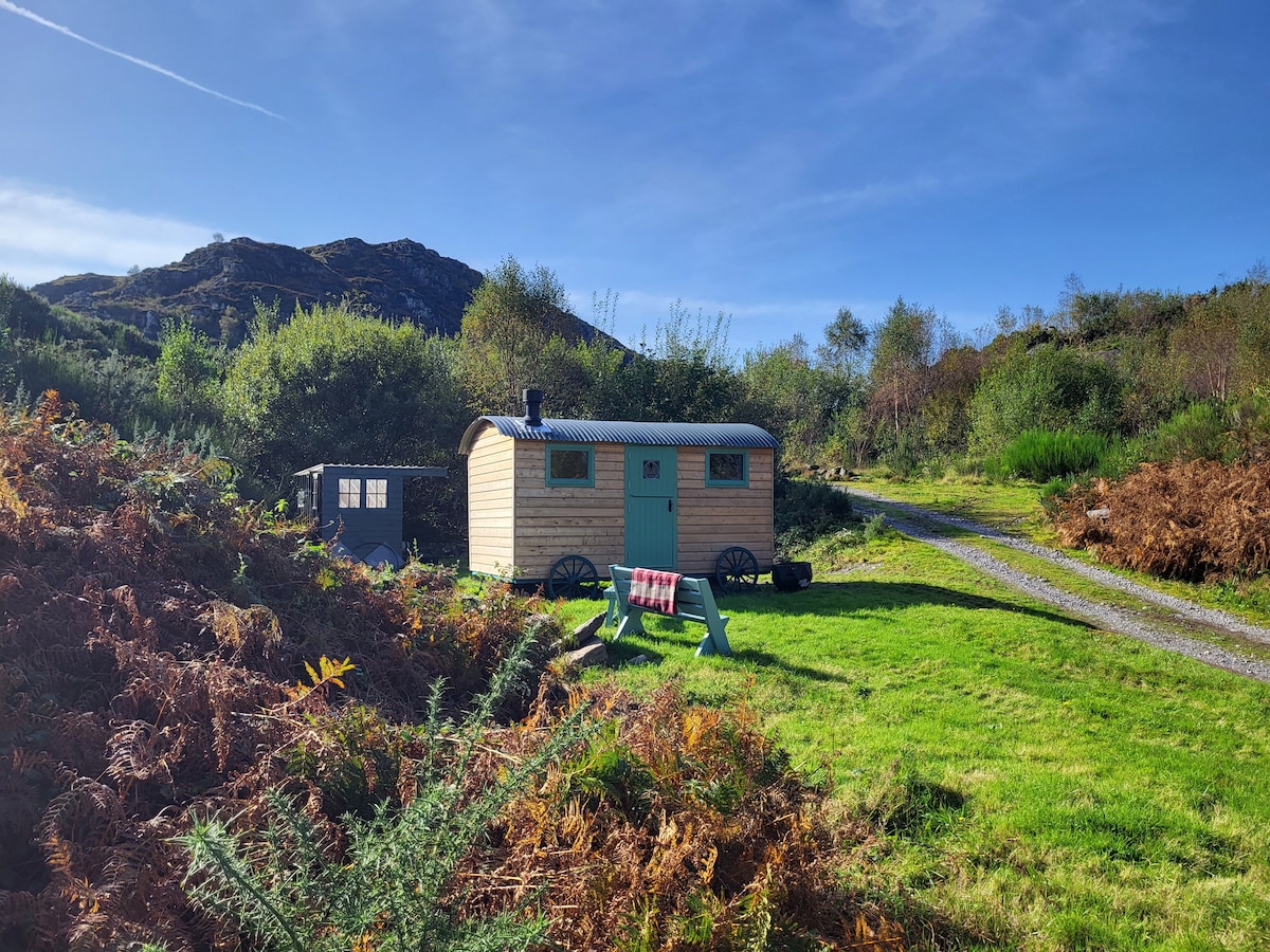 Hut site in AghatubridHut site · 71 yd
 FoilcloghMountain / peak · 2.1 mi
 Fermoyle Castle (in Ruins)Castle, tower house · 2.2 mi
 Kineigh Househouse · 2.2 mi
 Mc Crehins Castle (Site of)Castle, unclassified · 2.3 mi
 BeenduffMountain / peak · 2.5 mi
 Laharn Bog LoopWalking route · 2.6 mi
 Emlagh LoopWalking route · 2.7 mi
 RoadRoad, road/trackway · 2.9 mi
 Reenrow BeachBeach / strand · 3.2 mi
 Waterville Beach (Reenore) HotelRuins · 3.4 mi