What is recorded here
Exchange Street Lower in County Dublin still covers a medieval latrine, though no surface trace remains. The Friends of Medieval Dublin Map placed the privy there in 1978, preserving a function the pavement has forgotten. Under the modern town, human waste and daily urgency once shaped the neighbourhood.
The Friends of Medieval Dublin Map (1978, O10) approximately locates the site of a medieval privy on Exchange Street Lower. There is no visible surface trace.
Compiled by: Geraldine Stout
Date of upload: 23 November 2012
The monument record does not grant public access. Check the route and ask the landowner before entering private land.
- What survives
- Recorded monument
Places near here
 The Czech Innhouse · 26 yd
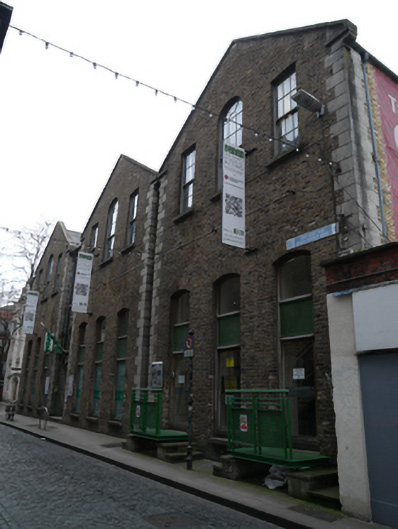 Gaiety School of Actingschool · 34 yd
 Newcomen BankVisitor information · 132 yd
 Dublin City HallHeritage attraction · 161 yd
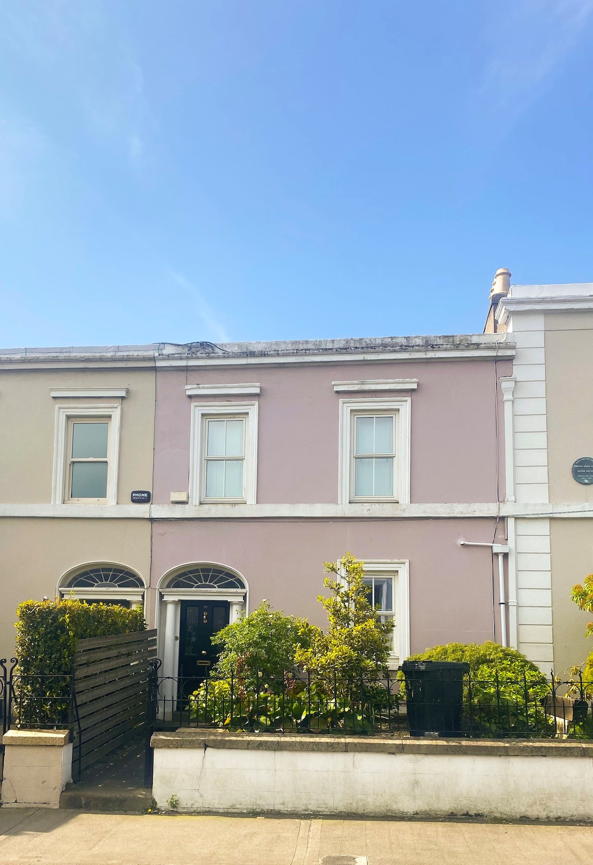 Ecclesiastical residence in Unknown TownlandEcclesiastical residence · 199 yd
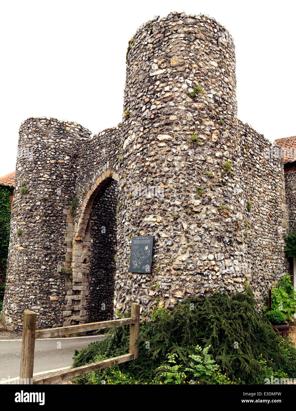 Town defences in Unknown TownlandTown defences · 217 yd
 CastleCastle, Anglo-Norman masonry castle · 233 yd
 Dublin Castlegates/railings/walls · 279 yd
 John FieldMemorial · 279 yd
 St. Michael's le Pale Church YardMemorial · 395 yd
 Medieval DublinVisitor information · 549 yd
 Bigleaf MapleBigleaf Maple · 844 yd