What is recorded here
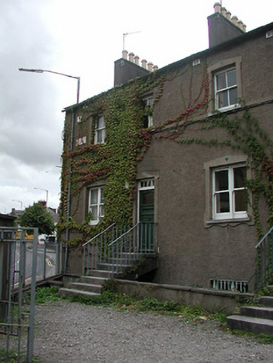
End-of-terrace two-bay two-storey over basement house, c. 1835; having pitched roof and rendered chimney stack with clay pots, plain render finish with plat band at first floor cill level and limestone plaque reads "Langford Place 1835", plain shouldered surrounds to openings with diamond inserts, retaining limestone cills and timber sliding sash windows, square headed door opening, timber panelled door with glazed inset and five paned overlight; facing onto gravelled parking area with enclosed area to rear, limestone steps to main entrance with iron railings; one of six.
Well maintained early nineteenth-century house, significant as part of composite terrace where scale, composition and roofline remains intact. The prominent siting of Langford Place has visual significance for the main thoroughfare of the Infirmary Road and closing the vista of the Old Blackrock Road. It also retains importance as part of a wider group of regionally significant buildings stretching from Langford Row to the junction of Sawmill Street and Infirmary Road, including the former Free Church and Newenham Place.
This does not grant access. Most recorded buildings are privately owned; view them only from public ground unless the owner allows entry.
Places near here
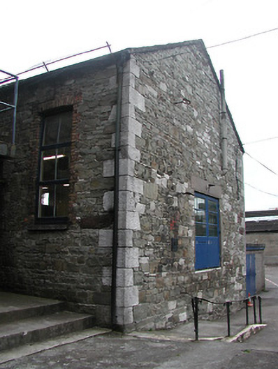 Scoil Eoin Naofaschool · 43 yd
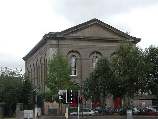 St John's Central Collegechurch/chapel · 50 yd
 Burial ground in Cork CityBurial ground · 207 yd
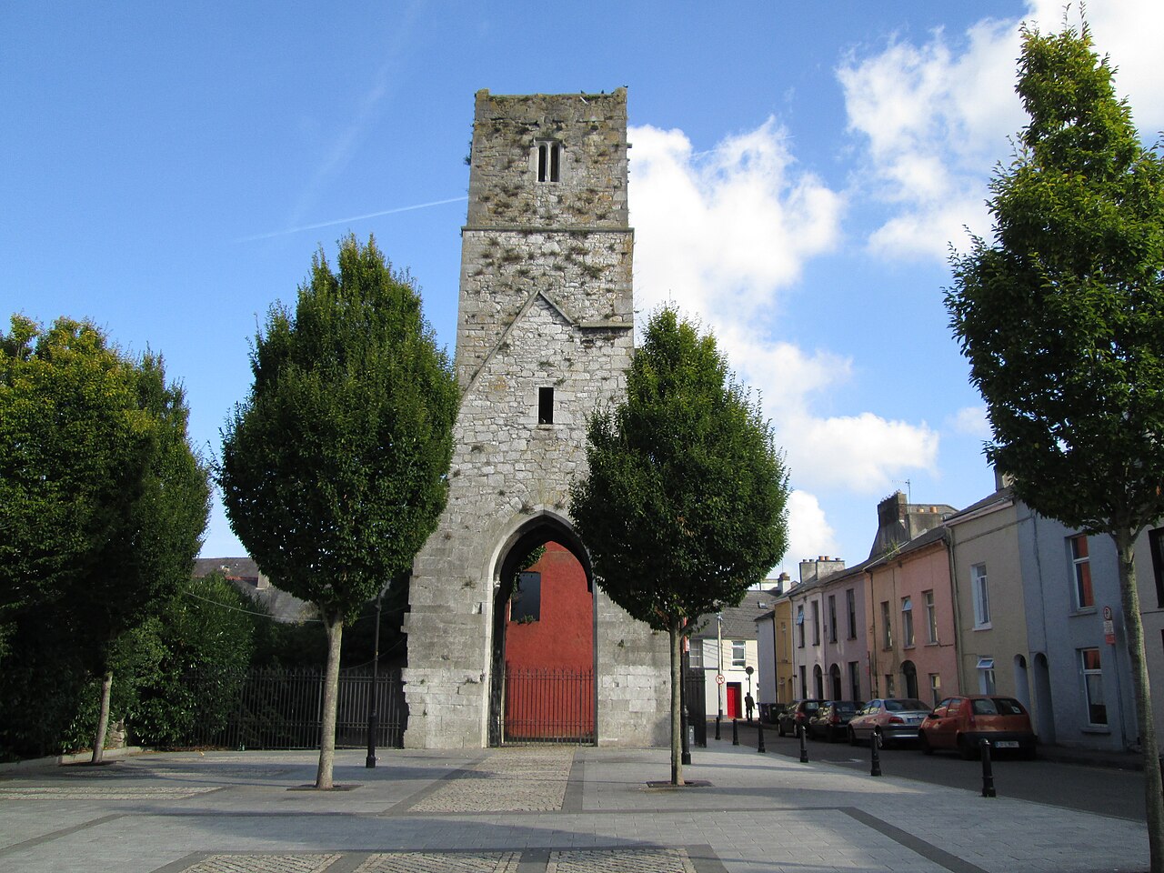 Red Abbey (Site of)Religious house, Augustinian friars · 425 yd
 Fire hose monumentMemorial · 429 yd
 Cork WalksVisitor information · 1032 yd
 Lavitts QuayMemorial · 1039 yd
 Mashanaglass Castle (in Ruins)Castle, tower house · 19 mi
 Summerhouse WoodForest · 19 mi
 Ummera WoodWood · 20 mi
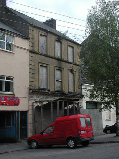 post officepost office · 76 yd
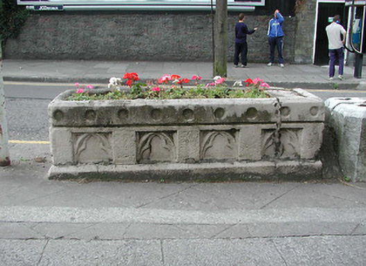 water troughwater trough · 76 yd
Other information
Photo: National Inventory of Architectural Heritage · Website use allowed for educational or private purposes with source credit