What is recorded here
Lambeg Historic Settlement occupied Lambeg North during the C17TH, marking one of the region’s oldest continuous human presences. People likely built homes, farmed land and shared stories along the valley, shaping the character of County Antrim long before modern boundaries existed. The settlement reminds us that progress layer over layer, with earlier lives still buried beneath today’s fields and roads.
The official Northern Ireland record identifies this as Lambeg Historic Settlement. Recorded period: C17TH. The official map point was placed at the centre of the recorded archaeological site from the source map reference.
The monument record does not grant public access. Check the route and ask the landowner before entering private land.
- What survives
- Recorded monument
Places near here
_-_geograph.org.uk_-_1167342.jpg?width=1280) Railway BridgeBridge · 233 yd
Railway BridgeBridge · 233 yd_-_geograph.org.uk_-_3541538.jpg?width=1280) Harmony Hill Presbyterian ChurchChurch · 370 yd
Harmony Hill Presbyterian ChurchChurch · 370 yd ENCLOSURE (O.S. memoir site, unlocated) in KilmakeeENCLOSURE (O.S. memoir site, unlocated) · 929 yd
 ENCLOSURE (O.S. memoir site, unlocated) in DerryaghyENCLOSURE (O.S. memoir site, unlocated) · 1243 yd
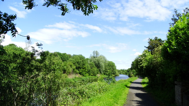 Lagan Valley IslandIsland · 1.2 mi
 Lisburn War MemorialMemorial · 1.2 mi
 The Wallace MemorialMemorial · 1.2 mi
 CASTLE later ARTILLERY FORT (site of) & GATE: LISBURN CASTLE, CASTLE GARDENS, LISNAGARVEY in LisburnCASTLE later ARTILLERY FORT (site of) & GATE: LISBURN CASTLE, CASTLE GARDENS, LISNAGARVEY · 1.3 mi
 Linen Centre and MuseumMuseum · 1.3 mi
 Welcome to Lagan Valley Regional ParkVisitor information · 1.4 mi
 PLANTATION HOUSE & BAWN: THE COURT in HillhallPLANTATION HOUSE & BAWN: THE COURT · 1.8 mi
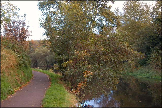 Lagan TowpathWalking route · 1.9 mi