
What is recorded here
In pasture, on a gentle SE-facing slope. No visible surface trace. According to local information, people in the former Ballygriffin House (TS060-055----), c. 200m to SW, used to draw water from this well. Probably disused when a later well was sunk close to ESE of the existing modern house. Named Lady's Well on OS 6-inch map editions.
Compiled by: Jean Farrelly
Date of upload: 26 August 2011
Linked to a local tradition of healing, the well was reportedly used by residents of Ballygriffin House for its supposed curative properties. No specific saint or folklore is associated with the site, though its historical use suggests a long-standing local reverence.
The monument record does not grant public access. Check the route and ask the landowner before entering private land.
- What survives
- Recorded monument
Places near here
 Enclosure in Lisheen (ballygriffin Par.)Enclosure · 255 yd
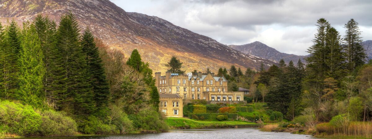 Ballynahinch SeatHouse, indeterminate date · 541 yd
 Field system in Ballynahinch (ballygriffin Par.)Field system · 594 yd
 Ballygriffin Ch. (in ruins)Church · 1586 yd
 CastleHouse, fortified house · 1607 yd
 Ballynahinch Castle (in ruins)Castle, tower house · 1.1 mi
 European ashEuropean ash · 1.7 mi
 Athassel PrioryHeritage attraction · 3.1 mi
 Hore AbbeyHeritage attraction · 3.1 mi
 Dundrum Woods (Marl Bog)Forest · 4.3 mi
 I.R.A. 3rd. Tipperary Brigade MemorialMemorial · 7.9 mi
 Enclosure in Ballynahinch (ballygriffin Par.)Enclosure · 812 yd
Other information
Photo: Credit not shown in the picture search · Rights wording not checked; contact us if this picture should be removed