
What is recorded here
In improved pasture, on plateau of ridge (long-axis c. E-W), near spot height 287ft. Panoramic views all around and Rock of Cashel is visible to E. No visible surface trace of monument. Traces of old trackway to S-side of this area (depicted on OS first edition map) meandering to N of existing linear trackway. Remains of levelled field boundary (long axis N-S) extend to S from existing trackway at E-end. Substantial quarried depression toward NE corner of general area as depicted on latest edition OS 6-inch map. Various humps and bumps across this plateau area which appear to be associated with quarrying activities. Nothing discernible. Height of plateau reduced 9ft from spot height on OS first edition and latest edition confirming quarrying. Remains of levelled field boundaries radiating from ringfort (TS060-057002-) as depicted on first edition map are traceable at SW, NW and NE are also traceable across this field.
Compiled by: Jean Farrelly
Date of upload: 26 August 2011
The monument record does not grant public access. Check the route and ask the landowner before entering private land.
- What survives
- Recorded monument
Places near here
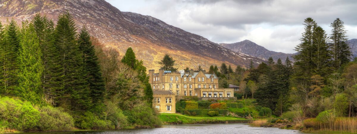 Ballynahinch SeatHouse, indeterminate date · 91 yd
 Ladys WellHoly well · 594 yd
 Enclosure in Lisheen (ballygriffin Par.)Enclosure · 635 yd
 Ballynahinch Church (in ruins)Church · 1159 yd
 Ballynahinch Castle (in ruins)Castle, tower house · 1268 yd
 CastleHouse, fortified house · 1.1 mi
 European ashEuropean ash · 2.0 mi
 Hore AbbeyHeritage attraction · 2.8 mi
 Athassel PrioryHeritage attraction · 3.0 mi
 Dundrum Woods (Marl Bog)Forest · 4.6 mi
 I.R.A. 3rd. Tipperary Brigade MemorialMemorial · 8.2 mi
 Enclosure in Ballynahinch (ballygriffin Par.)Enclosure · 886 yd
Other information
Photo: Credit not shown in the picture search · Rights wording not checked; contact us if this picture should be removed