
What is recorded here
Knocknatulla Fort vanished from the steep slope of Knocknafreaghaun mountain, leaving no visible trace despite appearing as a circular enclosure on early maps. The lost ringfort likely commanded extensive views to the north and east, suggesting humans once watched the horizon from that exposed height. Its disappearance transforms a standard boundary marker into a ghostly invitation to imagine how quickly stone and soil can surrender to mountain rain.
Knocknatulla Fort/Cnocán na Tulcha (?): There is no visible trace of this monument, which was located on the steep NE facing slope of Knocknafreaghaun mountain. Depicted as a circular enclosure on the first edition of the OS map, it is marked 'site of’ on the second edition. Extensive views to N and E can be gained from the site
The above description is derived from A. O'Sullivan and J. Sheehan (compilers), 'The Iveragh peninsula: an archaeological survey of South Kerry'. Cork University Press (1996), no. 651. In certain instances the entries have been revised and updated in the light of recent research.
Date of upload: 29 July 2013
This remains an important historical record, but the official description says the monument is no longer visible or has been destroyed. The monument record does not grant public access. Check the route and ask the landowner before entering private land.
- What survives
- No visible remains or recorded as destroyed
Places near here
 LisleibaneFairy fort / stone ringfort · 1.3 mi
 Indicated (1846).Hut site · 1.5 mi
 Cnoc an BhrácaMountain / peak · 1.8 mi
 Killoughane Church (in Ruins)Church · 2.1 mi
 Cruach MhórMountain / peak · 2.1 mi
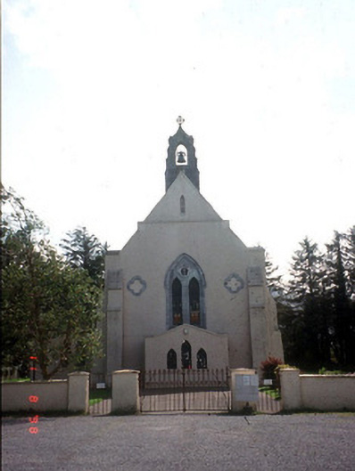 Saint Mary's Catholic Churchchurch/chapel · 2.2 mi
 Castle Core (in Ruins)Castle, tower house · 2.2 mi
 Crash site of USAAF DakotaHeritage attraction · 2.3 mi
 Devil's Ladder RouteWalking route · 2.4 mi
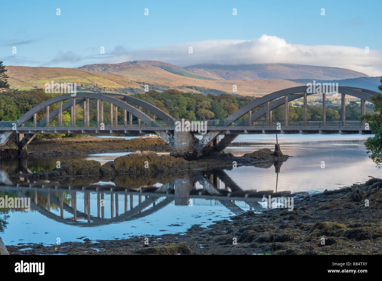 Very small BridgeHeritage attraction · 2.5 mi
 Japanese pagoda treeJapanese pagoda tree · 2.9 mi
 European YewEuropean Yew · 2.9 mi
Other information
Photo: Credit not shown in the picture search · Rights wording not checked; contact us if this picture should be removed