
What is recorded here
Knocknagree Fort is a circular earthen ringfort on a south-facing slope beside Knocknagree village, preserving a broken bank and hidden underground passage. It is not a vague fairy tale but a built place where people lived, worked and perhaps fled beneath the grass. The fort still holds its shape in pasture, waiting for someone to walk its edge and imagine the hands that made it.
In pasture, on S-facing slope to SE of Knocknagree village. Circular area (46m N-S) enclosed by overgrown earthen bank (int. H 1.9m; ext. H 2.2m). Break (Wth 2m) in bank to SW. Interior covered in tall rough grass; Man-made underground passage (CO029-02702-) at N side. Recorded by Bowman (1934, 658) as single-ramparted fort in E. MacSweeney's, with 'fosse c. 14 feet wide, now practically filled in'.
The above description is derived from the published 'Archaeological Inventory of County Cork. Volume 4: North Cork' (Dublin: Stationery Office, 2000). In certain instances the entries have been revised and updated in the light of recent research.
Date of upload/revision: 14 January 2009
The monument record does not grant public access. Check the route and ask the landowner before entering private land.
- What survives
- Recorded monument
Places near here
 Knocknagree Roman Catholic Churchchurch/chapel · 344 yd
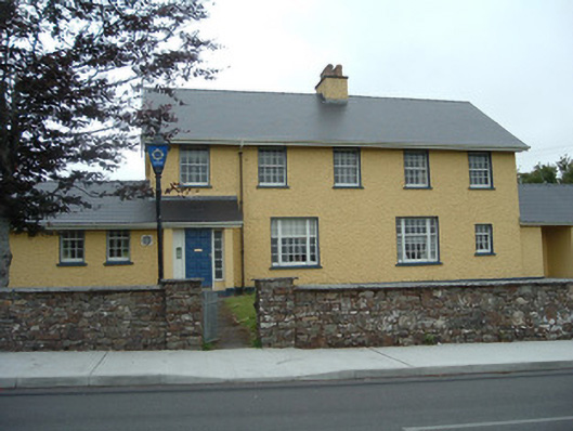 Knocknagree Garda Stationgarda station/constabulary barracks · 368 yd
 Fulacht FiadhFulacht fia · 1133 yd
 Fulacht fia in Shanbally (duhallow By.)Fulacht fia · 1399 yd
 Nohaval WoodWood · 1.6 mi
 Barna BogForest · 5.2 mi
 Caherbarnagh NW TopMountain / peak · 5.9 mi
 CaherbarnaghMountain / peak · 6.3 mi
 BarraduffMemorial · 6.9 mi
 Kilmeedy CastleCastle, tower house · 8.1 mi
 Castle McAuliffe (Site of)Castle, unclassified · 9.6 mi
 Famine MemorialMemorial · 14 mi
Other information
Photo: Credit not shown in the picture search · Rights wording not checked; contact us if this picture should be removed