What is recorded here
In tillage (barley) on a gentle S-facing slope. Stream curving around W and SW sides of monument. Circular area (dims. c. 35m N-S; c. 30m E-W) defined by scarp (Wth 3.85m; H 1.5m) which is obscured for most part by dense growth of thorn trees, ivy, briars and nettles. Fosse (overall Wth 5.15m; basal Wth 0.7m; D 0.3m) only seen NW-NE and is generally choked by dense vegetation. Interior ungrazed and covered by tall, thick grasses with large areas of nettles prevailing within centre. Trees and growth on enclosing elements are encroaching into perimeter of interior. Large areas of uncultivated growth around exterior of fosse in places. Yellow flags on exterior of fosse at SE may correspond to the spring which may have fed the holy well (TS060-017002-) within SE-sector. Enclosure (TS060-016----) is c. 55m to NNE.
Compiled by: Jean Farrelly
Date of upload: 26 August 2011
The monument record does not grant public access. Check the route and ask the landowner before entering private land.
- What survives
- Recorded monument
Places near here
 TobernagloryHoly well · 6 yd
 Enclosure in Ballinamona (oughterleague Par.)Enclosure · 372 yd
 Castle (in ruins)Castle, tower house · 927 yd
 European ashEuropean ash · 1103 yd
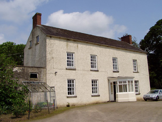 Kilmore Househouse · 1192 yd
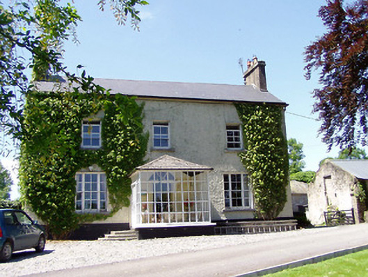 Ballywalter Househouse · 1223 yd
 CastleHouse, fortified house · 1.1 mi
 Wych ElmWych Elm · 2.0 mi
 Athassel PrioryHeritage attraction · 3.6 mi
 Hore AbbeyHeritage attraction · 4.2 mi
 I.R.A. 3rd. Tipperary Brigade MemorialMemorial · 7.3 mi
 The Maid of ErinMemorial · 8.1 mi