What is recorded here
Knockauns Fort is a ringwork castle perched on a natural hillock above a ravine and stream in County Tipperary. Its triangular earth and stone bank still stands two metres high, with one perfectly straight northern side stretching thirty metres. The shape suggests human hands imposed order on mountain terrain, perhaps marking territory or watching the water below. No entrance remains visible, leaving the fort closed like a fist around whatever life it once held.
Situated on a natural hillock in a mountainous region overlooking a ravine and a stream to the W. A raised roughly triangular-shaped area (diam. E-W 44m; N-S 31m) enclosed by an earth and stone bank (Wth 1.5-2.2m; int. H 0.7m; ext. H 2m) with a perfectlystraight side at N (L 30m). No outer fosse or entrance feature visible.
The above description is derived from 'The Archaeological Inventory of County Tipperary. Vol. 1 - North Tipperary' compiled by Jean Farrelly and Caimin O'Brien (Dublin: Stationery Office, 2002). In certain instances the entries have been revised and updated in the light of recent research.
Date of upload/revision: 22 September 2008
The monument record does not grant public access. Check the route and ask the landowner before entering private land.
- What survives
- Recorded monument
Places near here
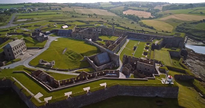 Knockaun FortArchaeological place · 15 yd
 Enclosure in AghnameadleEnclosure · 1.1 mi
 Aghnameadle CastleCastle · 1.3 mi
 Aghnameadle Church (in Ruins)Church · 1.4 mi
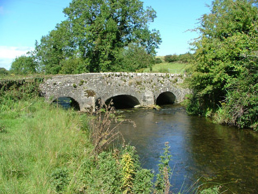 Aghnameadle Bridgebridge · 1.4 mi
 Blean CastleCastle · 1.7 mi
 GortagarryMountain / peak · 2.0 mi
 Kyleroe WoodWood · 2.3 mi
 Interragh HillMountain / peak · 2.7 mi
 Killavalla WoodForest · 4.3 mi
 James Devaney MemorialMemorial · 7.7 mi
 Thomas MacDonagh Heritage CentreMuseum · 8.1 mi