What is recorded here
Situated on top of a hillock in an upland area with extensive views. A low partially destroyed mound (diam. 7.7m N-S; H 0.8m) with small hollow depressions on its surface enclosed by a poorly preserved fosse (Wth 1m; ext. D 0.7m) and outer bank (Wth 1.7m; ext. H 1-1.5m) which is totally destroyed at W. Traces of a shallow external fosse are visible from N to E.
The above description is derived from 'The Archaeological Inventory of County Tipperary. Vol. 1 - North Tipperary' compiled by Jean Farrelly and Caimin O'Brien (Dublin: Stationery Office, 2002). In certain instances the entries have been revised and updated in the light of recent research.
Date of upload/revision: 22 September 2008
A Neolithic long cairn, likely dating to the Early to Middle Neolithic period (c. 4000–3000 BCE). Its location on an upland hillock suggests it may have had ritual or territorial significance within the landscape.
The monument record does not grant public access. Check the route and ask the landowner before entering private land.
- What survives
- Recorded monument
Places near here
 R.C. Chapel, Grave YardChurch · 1329 yd
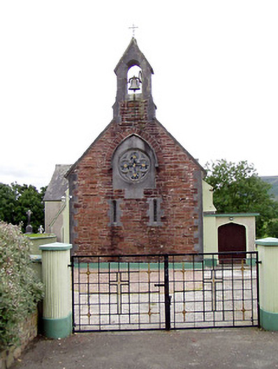 Catholic Church of the Sacred Heartchurch/chapel · 1341 yd
 Fulacht fia in ClonaloughFulacht fia · 1.2 mi
 Doonan's HillMountain / peak · 1.5 mi
 IndicatedFairy fort / earthen ringfort · 1.8 mi
 Silvermine Mountains W TopMountain / peak · 2.3 mi
 Ballyhourigan WoodsForest · 2.3 mi
 Dunalley Castle (in ruins)Castle, unclassified · 2.8 mi
 Site of Ballygown CastleCastle, unclassified · 3.6 mi
 The MinerMemorial · 3.6 mi
 Our Lady Assumed into HeavenMemorial · 3.6 mi
 Silvermines ViewpointViewpoint · 3.9 mi