What is recorded here
Knockaungal Fort is a large circular cashel in County Galway, measured at nearly fifty metres across before quarrying took part of its south-eastern wall. It sits on a gentle rise in rolling pasture, quietly losing itself to the landscape around it. The drystone enclosure once marked early Irish settlement and landholding, but now its full circuit is difficult to trace. What remains suggests something substantial, a place where human life moved through stone and grass long before the wall began to scatter.
On a rise in undulating pastureland. Poorly preserved circular cashel (diam. 49.5m) defined by a drystone wall. Quarrying has encroached upon the enclosing element at SE. (McCaffrey 1952, 236, no. 127)
Compiled by: Galway Archaeological Survey, UCG
Date of upload: 18 January 2018
The monument record does not grant public access. Check the route and ask the landowner before entering private land.
- What survives
- Recorded monument
Places near here
 Hut site in Castletaylor SouthHut site · 1161 yd
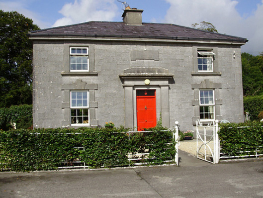 Castle Taylorsteward's house · 1512 yd
 Field system in Ballybaun (dunkellin By.)Field system · 1606 yd
 Cloghroak Castle (in ruins)Castle, tower house · 1.4 mi
 Cregaclarefarmyard complex · 1.7 mi
 Castle (in ruins)Castle, Anglo-Norman masonry castle · 2.0 mi
 Drumharsna CastleHeritage attraction · 3.6 mi
 Kilcornan ForestWood · 4.1 mi
 Loughaun WoodWood · 4.7 mi
 Drumacoo Monastic SiteHeritage attraction · 4.8 mi
 Mulroney's IslandIslet · 6.8 mi
 Goose IslandIslet · 8.8 mi