What is recorded here
Knockaunacroghera is a grass-covered barrow atop a Clare hillock where tradition claims Armada men died in 1588. Its central mound rises beside a broad earthen platform, giving the place the shape of a deliberate grave rather than a casual hill. cattle may graze around it now, but the old story still points to violence, loss and foreign bodies returned to Irish soil.
At the top of a prominent hillock with wide views, in pastureland. Hachured and named 'Knockaunacroghera' on the 1842 and 1920 eds. of the OS 6-inch map. Marked on Robinson's (1977) map, with the label 'Cnocán an Chrochaire – Armada men hanged 1588'. Westropp (1900, 286) recounts a tradition that this is a '"Spaniards' grave," where a number of the dead from the Armada were buried.' This grass-covered barrow comprises a subcircular earthen platform (22.4m E-W; 19.7m N-S), its perimeter defined by a low scarp. In the centre of the platform is a flat-topped circular mound (H 1.1-1.4m; base diam. 11.4-12.2m; top diam. 5.1-5.2m).
The following image has been uploaded:
CL008-078----_01.jpg View from SE
Compiled by: Mary Tunney and Conn Herriott
Date of upload: 29 November 2022
Portal dolmen; likely dates to the Early Bronze Age. Its location on a prominent hillock suggests it was a significant ceremonial or funerary monument in its landscape.
The monument record does not grant public access. Check the route and ask the landowner before entering private land.
- What survives
- Recorded monument
Places near here
 Doolin Road SinkCave · 467 yd
 St. Catherine's OneCave · 543 yd
 Enclosure in Glasha MoreEnclosure · 870 yd
 Enclosure in AughavinnaEnclosure · 1279 yd
 Catholic Church of the Holy Rosarychurch/chapel · 1650 yd
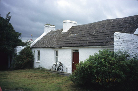 farm housefarm house · 1689 yd
 CastleCastle, unclassified · 1690 yd
 Doolin Cave Visitor CentreHeritage attraction · 1.2 mi
 Ballinalacken CastleCastle · 1.6 mi
 Doolin FerriesHeritage attraction · 2.6 mi
 Wild Atlantic Way: Doolin PierVisitor information · 2.6 mi
 Doolin PointHeadland · 2.7 mi