What is recorded here
Knockanabausa Fort is a ruined stone ring in County Limerick, marked on maps since 1840 and still visible beneath trees and pasture. Its broken bank encloses a wide oval space where shadows gather at dusk, inviting imagination rather than certainty. The name itself sounds like a whispered warning, fitting for a place where the boundary between human memory and fairy tale becomes porous.
In pasture on slight NE-facing slope, cashel (LI012-141----) immediately to NE. Present remains consist of a circular-shaped area (diam. 29m N-S) enclosed by a stone bank (int. H 0.55m; ext. H 0.85m; base Wth 1.23m). The interior is undulating with rubble from field clearance, bank disturbed at SW. Annotated 'Knockanabausa Fort' on both the 1840 OS 6-inch map and the 1897 OS 25-inch map. The 1897 OS 25-inch map depicts the monument as an oval shaped area enclosed by a bank, with trees planted in the interior with post-1700 field boundary intersects the monument at S and ESE. Google Earth orthoimage taken 2019 shows the monument heavily overgrown with trees.
See attached Google Earth orthoimage taken 19/11/2019
Compiled by: Fiona Rooney
Date of upload: 19 June 2020
Knockanabausa Fort is a circular stone-walled ringfort, likely dating to the early medieval period, associated with ancient Irish farming or defensive settlements. Local folklore may link it to fairy traditions, as with many such sites, though specific stories are not recorded.
The monument record does not grant public access. Check the route and ask the landowner before entering private land.
- What survives
- Recorded monument
Places near here
 Knockanadausa FortArchaeological place · 2 yd
 Dotted outlineFairy fort / stone ringfort · 49 yd
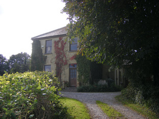 Beech Hillhouse, surgery/clinic · 1278 yd
 Duane Villepresbytery/parochial/curate's house · 1747 yd
 Castle FieldCastle, unclassified · 1.7 mi
 Meelick Ho.House, fortified house · 2.4 mi
 Sailors HaggardMemorial · 3.7 mi
 Grass IslandIslet · 6.0 mi
 Maiden RockNamed rock · 6.3 mi
 Mellon PointHeadland · 6.9 mi
 Bunratty Castlehouse · 7.4 mi
 Sweet ChestnutSweet Chestnut · 7.7 mi