What is recorded here
Knockadoony Fort is a small earthen ring on a wet Clare hillslope, its low bank still marking a circular space despite livestock gaps and centuries of rain. The fort faces west into wide southern and northern views, suggesting whoever shaped it valued light, distance and presence more than private comfort. It may have been a home, a boundary marker or a fairy fort in local thought, but its clear shape and exposed position remain fact.
On a W-facing hillslope in wet, rough pasture, with wide views S-N. Hachured and named 'Knockadoony Fort' on the first edition (1842) and later, Cassini edition (1920) of the OS 6-inch map. Listed as 'Enclosure' in the RMP (1996). A small, subcircular area (int. diams. 15.6m E-W; 13.3m N-S) is defined by a low, round-topped, earthen bank (av. Wth 1.2m; int. H 0.1m; ext. H 0.7m) which has been intermittently reduced to a scarp and is breached by several livestock gaps. A possible outer fosse (Wth 1-2m; D 0.1m) is visible NE-E-SE. The interior is slightly higher in the centre than inside the enclosing bank.
Summary by: Gearóid Conroy and Conn Herriott
Date of upload: 2 December 2022
The monument record does not grant public access. Check the route and ask the landowner before entering private land.
- What survives
- Recorded monument
Places near here
 Site of Fanta Cas.Castle, tower house · 217 yd
 Lisdonny WestFairy fort / earthen ringfort · 1029 yd
 IndicatedEnclosure · 1055 yd
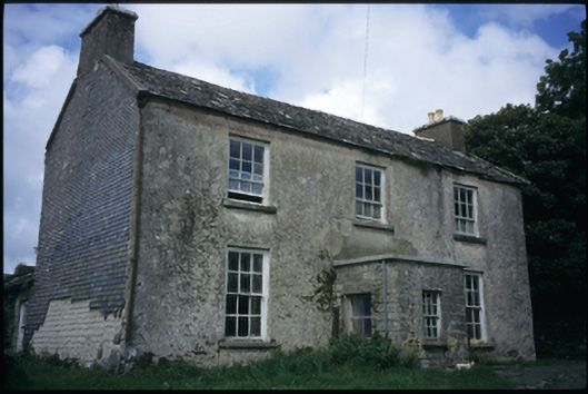 The Deaneryrectory/glebe/vicarage/curate's house · 1183 yd
 Smithstown Castle (in ruins)Castle, tower house · 1668 yd
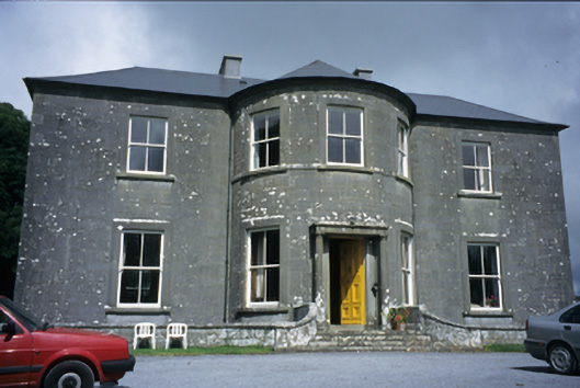 Ballykeel Housecountry house · 1.1 mi
 High CrossHeritage attraction · 1.5 mi
 Burren Centre KilfenoraVisitor information · 1.5 mi
 Ballyteigue Nature ReserveNature reserve · 2.0 mi
 Cahermacnaghten CashelHeritage attraction · 4.0 mi
 Cullaun 5 (C5b)Cave · 4.0 mi
 Poll CragreaghCave · 4.1 mi