What is recorded here
Kitchen middens are marked here on the 3rd edition of the OS 6-inch map. A bronze pin; half a quern and bones were also reported by Welch (1902, 229) at Tranarossan, and in 1944 M.R. Calhoun reported scatters of material here including several rim sherds of one pot, blackish in colour. A 30m long habitation layer .3m thick and 0.5m below the grass can be traced in a steep sand face. There is much shell and bone scattered about. 200m W and closer to the shore, the W half of a circular stone enclosure 12.5m across can be seen. Two courses of drystone construction survive up to .6m in height (DG007-003-). There are short lines of stones visible in the sand E and S of this 'hut'. The site is located behind Rosses Strand on the SE side of Tranarossan Bay.
The above description was derived from the 'Archaeological Survey of County Donegal. A description of the field antiquities of the County from the Mesolithic Period to the 17th century.' Compiled by: Brian Lacey with Eamon Cody, Claire Cotter, Judy Cuppage, Noel Dunne, Vincent Hurley, Celie O'Rahilly, Paul Walsh and Seán Ó Nualláin (Lifford: Donegal County Council, 1983). In certain instances the entries have been revised and updated.
Date of upload: 22 September 2008
The monument record does not grant public access. Check the route and ask the landowner before entering private land.
- What survives
- Recorded monument
Places near here
 Rosses StrandBeach / strand · 479 yd
 Enclosure in Dún Dubháin ÍochtarachEnclosure · 639 yd
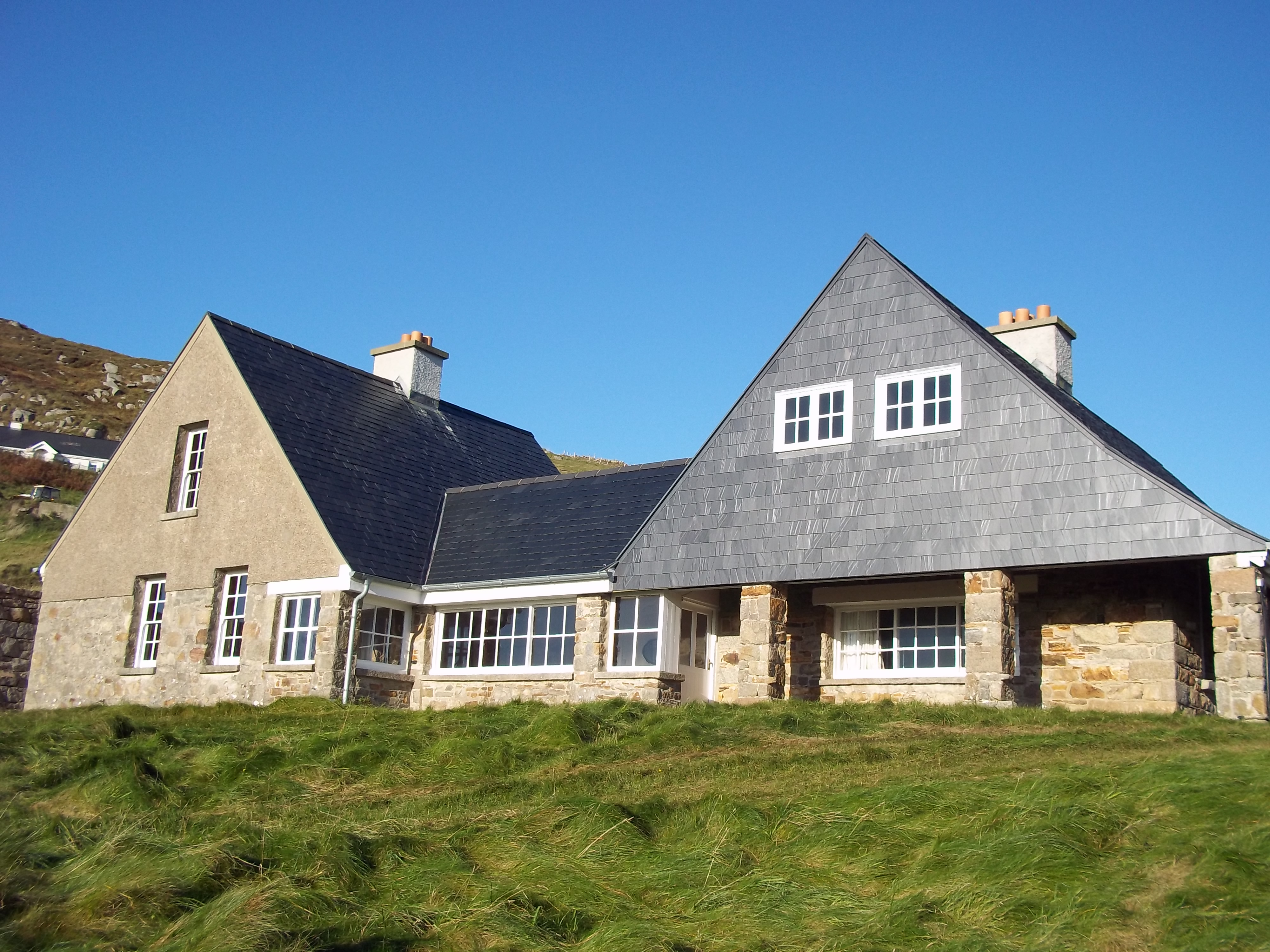 Tranarossan Househouse · 700 yd
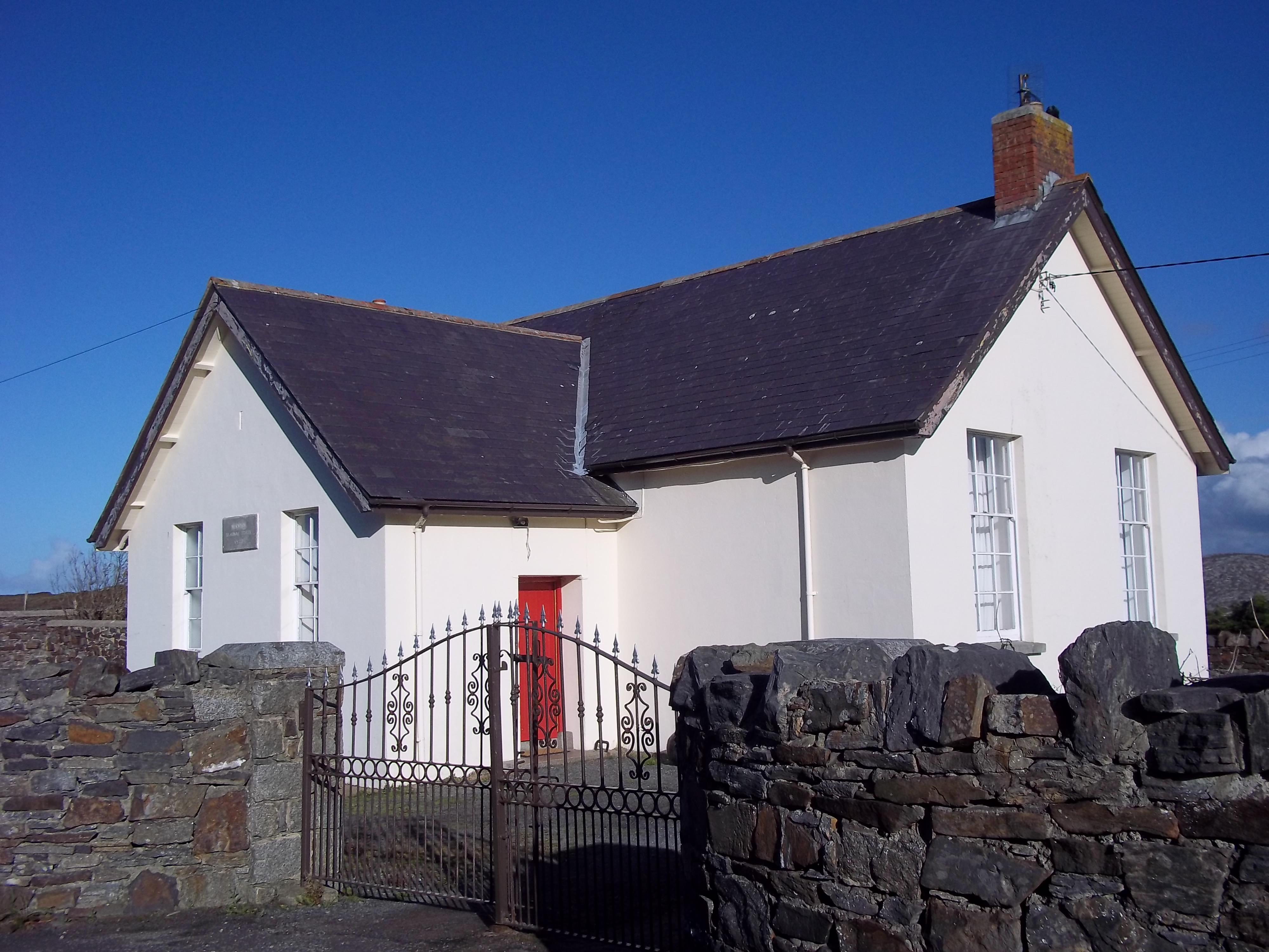 Scoil Náisiúnta Míobhaigh [Meevagh National School]school · 875 yd
 Cnoc na SleáMountain / peak · 1011 yd
 Boyeeghter Strand Coastal Promontory FortPromontory fort, coastal · 1388 yd
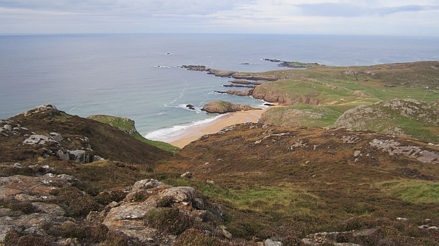 Boyeeghter StrandBeach / strand · 1512 yd
 The Murder HoleCave · 1580 yd
 Cliffs on Ros GuillPublicly named cliff or headland · 2.9 mi
 Cliffs at Lamb's IslandPublicly named cliff or headland · 2.9 mi
 Moross CastleCastle, tower house · 4.3 mi
 Clonmass IslandIslet · 4.3 mi