What is recorded here
Kinnagoe Burial Ground hides beneath a reclaimed field where the Owenboy river bends, trusting local tradition rather than visible stones to mark its boundary. The absence of surface features does not diminish the claim; it suggests the dead were laid into soil that later became farmland, their names erased but their presence absorbed into the land. A graveyard without graves is not an empty idea. It is a reminder that burial can be so complete it stops looking like burial at all.
A local tradition claims this site as a graveyard. There are no surface features. It is situated in a reclaimed field in a curve of the Owenboy river.
The above description was derived from the 'Archaeological Survey of County Donegal. A description of the field antiquities of the County from the Mesolithic Period to the 17th century.' Compiled by: Brian Lacey with Eamon Cody, Claire Cotter, Judy Cuppage, Noel Dunne, Vincent Hurley, Celie O'Rahilly, Paul Walsh and Seán Ó Nualláin (Lifford: Donegal County Council, 1983). In certain instances the entries have been revised and updated.
Date of upload: 22 September 2008
The monument record does not grant public access. Check the route and ask the landowner before entering private land.
- What survives
- Recorded monument
Places near here
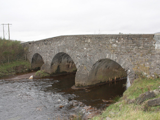 Kinnagoe Bridgebridge · 51 yd
 Kinnagoe Stone RingfortFairy fort / stone ringfort · 603 yd
 Enclosure in FoffanaghEnclosure · 1699 yd
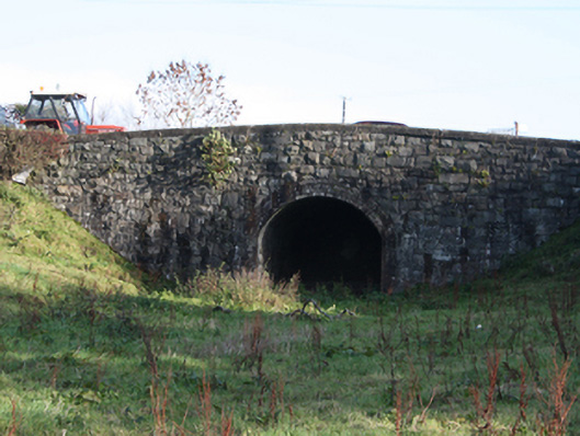 bridgebridge · 1727 yd
 O'Doherty's KeepCastle · 2.7 mi
 Slieve MainMountain / peak · 2.8 mi
 Neds Point FortFort · 3.0 mi
 Lady's Bay, BuncranaOfficial bathing water · 3.1 mi
 Stragill BeachBeach / strand · 3.1 mi
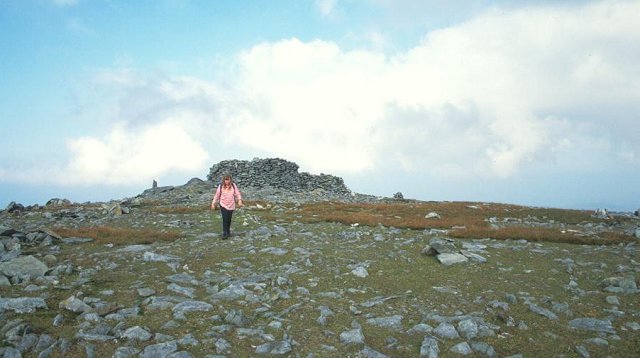 Slieve SnaghtMountain / peak · 3.7 mi
 Glendowen craft shopHeritage attraction · 4.9 mi
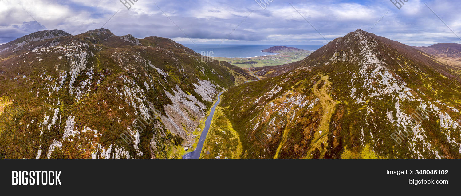 Gap of MarmoreHeritage attraction · 5.8 mi