
What is recorded here
Detached three- or four-bay two-storey market house, dated 1808, on a rectangular plan with single-bay two-storey advanced end bays. Destroyed, 1921. Reconstructed, 1931. Adapted as heritage centre, 1988. Hipped artificial slate roof with roughcast render to gablet and cast-iron rainwater goods. Rendered walls with rendered quoins. Cut-limestone piers to ground floor with limestone ashlar voussoirs and keystones. Cantilevered balustraded balcony to first floor with inscribed cut-limestone plaque (1966). Replacement fittings to all openings.
This does not grant access. Most recorded buildings are privately owned; view them only from public ground unless the owner allows entry.
Places near here
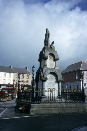 Manchester Martyrs Monumentmonument · 46 yd
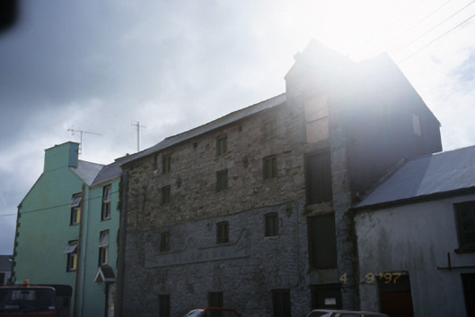 A. Ryan and Sonmill (water) · 64 yd
 The Museum of Irish Rural LifeMuseum · 492 yd
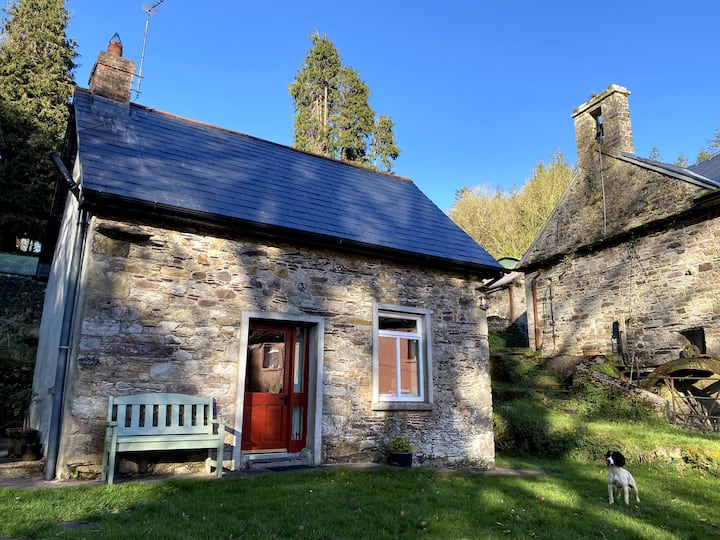 Enclosure in Cappagh (moyarta By.)Enclosure · 679 yd
 St. Senan's WellSpring · 800 yd
 Vandeleur Walled GardenHeritage attraction · 860 yd
 Enclosure in RapeparkEnclosure · 1.5 mi
 Mall PointHeadland · 1.8 mi
 Castle (in Ruins)Castle, unclassified · 2.1 mi
 Scattery Island Visitor CentreVisitor information · 2.1 mi
 Fawley's PointHeadland · 2.2 mi
 FortCastle · 2.7 mi
Other information
Photo: Charles W Glynn · CC BY-SA 2.0