What is recorded here
Listed in both the SMR (1989) and RMP (1995) and classified 'Earthwork'. In flat pasture. Four hachures are marked on the 1941-2 edition of the OS 6-inch map, which probably
mark a roughly circular hollow. Upon inspection in 1994 neither a hollow or archaeological features were identified. It was suggested that this may be the location of a limekiln, now removed, of post-1700 AD date.
Compiled by: Archaeological Survey Unit, UCC
Date of upload: 13 January 2012
The monument record does not grant public access. Check the route and ask the landowner before entering private land.
- What survives
- Recorded monument
Places near here
 Indicated (1838).Fairy fort / earthen ringfort · 1017 yd
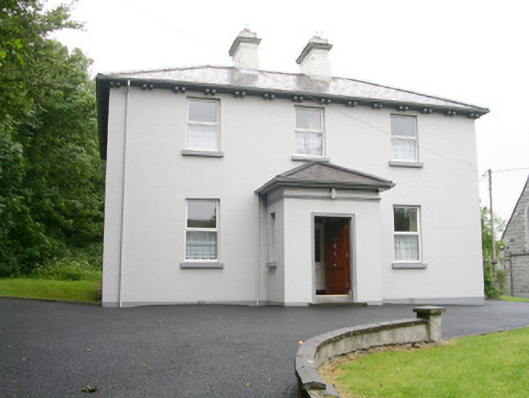 Catholic Church of Saint John the Evangelistpresbytery/parochial/curate's house · 1309 yd
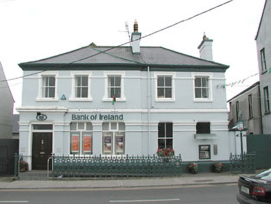 Bank of Irelandbank/financial institution · 1351 yd
 IndicatedFairy fort / stone ringfort · 1421 yd
 Ballyara Castle (in Ruins)Castle, unclassified · 1.6 mi
 CastleCastle, unclassified · 1.9 mi
 Muckelty HillMountain / peak · 2.9 mi
 Old Cave Burial GroundArchaeological place · 4.0 mi
 Tymon's HillMountain / peak · 4.9 mi
 Tawnyart WoodWood · 5.3 mi
 New WoodWood · 5.7 mi
 Lough Talt TrailVisitor information · 8.3 mi