
What is recorded here
Situated at the N end of a NE-SW ridge. Archaeological testing (21E0025) by C. McLoughlin in April 2021 identified a kiln as an oval feature (dims 2.5m x 1-1.2m; max. D 0.4m) with a fill of dark brown silty clay with charcoal inclusions over a charcoal-rich seam. (McLoughlin 2021, 14,15)
Compiled by: Michael Moore
Date of upload: 4 August 2021
The monument record does not grant public access. Check the route and ask the landowner before entering private land.
- What survives
- Recorded monument
Places near here
 Ramsgate Househouse · 267 yd
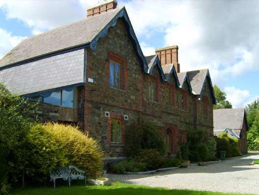 Gorey Union Workhouseworkhouse · 332 yd
 Fulacht fia in Ramstown LowerFulacht fia · 426 yd
 1798 MonumentMemorial · 507 yd
 Gorey HillMountain / peak · 725 yd
 Market HouseHeritage attraction · 1075 yd
 ToberchreestHoly well · 1153 yd
 Carriganeagh RockMountain / peak · 1.4 mi
 Ballingarry WoodForest · 2.6 mi
 Barnadown WoodWood · 2.9 mi
 Saint Brigid's WellSpring · 6.0 mi
 Blue SchoolMemorial · 7.0 mi
Other information
Photo: Credit not shown in the picture search · Rights wording not checked; contact us if this picture should be removed