What is recorded here
Located in the interior of a rath (MA046-004007-).
This feature was excavated (E000015) in 1950 by Ó' Ríordáin and Mac Dermott (1950-1, 103-104). It consisted of a roughly rectangular trench (1.6m X 0.5m; D 0.6m), with sides lined with upright stones. At its E end two lintel stones remained in position. The fill included charcoal and tiny fragments of burnt animal bone. The excavators interpreted this structure as a type of kiln, although they acknowledging that it was not similar to known kiln types (ibid, 104).
Compiled by: Jane O’Shaughnessy
Date of upload: 9 April 2019
The monument record does not grant public access. Check the route and ask the landowner before entering private land.
- What survives
- Recorded monument
Places near here
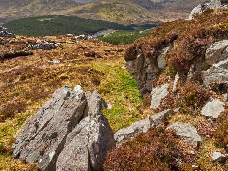 IndicatedFairy fort / earthen ringfort · 4 yd
 Letterkeen LoopWalking route · 1.8 mi
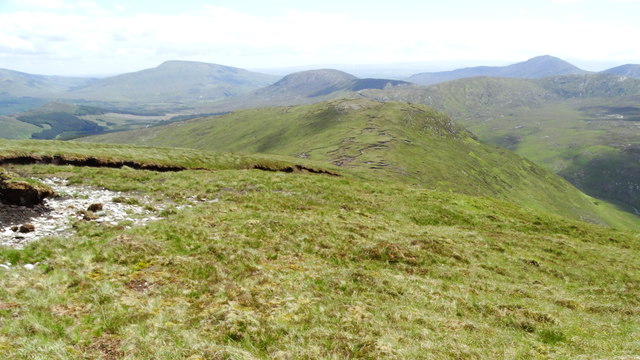 Nephin Beg South Top (Cruckgarru)Mountain / peak · 2.9 mi
 BirreencorraghMountain / peak · 3.1 mi
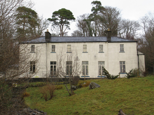 Treanlaur Lodgehunting/fishing lodge · 3.9 mi
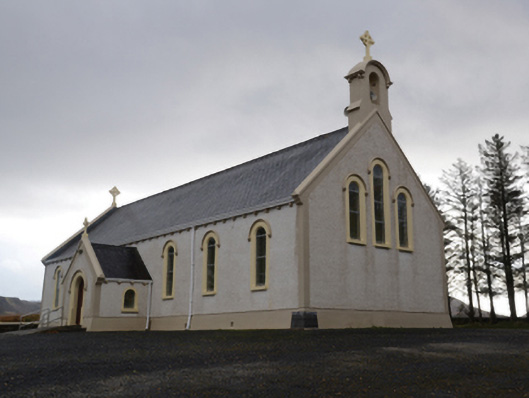 Catholic Church of the Holy Soulschurch/chapel · 4.2 mi
 RaweedoonminnonFairy fort / earthen ringfort · 5.7 mi
 Wild Nephin National ParkNature reserve · 5.7 mi
 Saints IslandIslet · 6.6 mi
 IslandmoreIslet · 7.8 mi
 Killeen CemeteryVisitor information · 7.8 mi
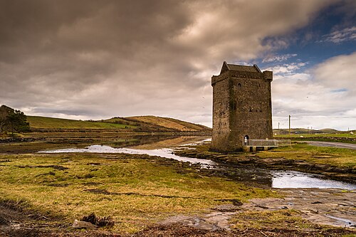 Rockfleet CastleCastle · 8.2 mi