What is recorded here
Situated on a slight S-facing slope. Archaeological centre-line testing (04E0476) by E. Cotter of Testing Area 15, Contract 1, prior to the construction of the M3 motorway (excavations.ie: 2004:1253) identified archaeological material at four discrete points, and it was completely excavated (E003042) by H. Schweitzer as Johnstown 2 between February and April 2006 (excavations.ie 2006:1572). Three kilns were recorded, the earliest of which (dims 1.6m x 0.9m; D 0.3m) had two fills and a secondary fill of reddish-brown sandy clay that was partly oxidised and contained charcoal. This was cut by a larger kiln (dims 3.35m E-W; 2.5m N-S; max. D 0.6m) which was of the figure-of-eight type with two bowls and a connecting flue. It had nine fills with an oxidised base. The third kiln was also figure-of-eight (dims 1.6m x 0.7m; D 0.2m) and cut the flue of the second kiln. It had an oxidised base and was filled with a mottled brown sandy clay with reddish oxidised clay. About 100m to the N of the kilns two shallow cuts (diam. 1.06m; D 0.22m: 1.07m x 0.75m; D 0.2m) with oxidised bases and charcoal rich fills were probably hearths, and one of them produced a C14 date of 401-206 cal. BC. A nearby pit (dims 1.35m x 1.09m; D 0.48m) contained five fills and produced an exactly similar radiocarbon date of 401-206 cal. BC, but it is not known how these relate to the kilns, or what the kilns were used to process. (Schweitzer and Ginn 2008)
Compiled by: Michael Moore
Date of upload: 9 December 2021
The monument record does not grant public access. Check the route and ask the landowner before entering private land.
- What survives
- Recorded monument
Places near here
 Enclosure in Johnstown (ratoath By., Dunshaughlin Par.)Enclosure · 403 yd
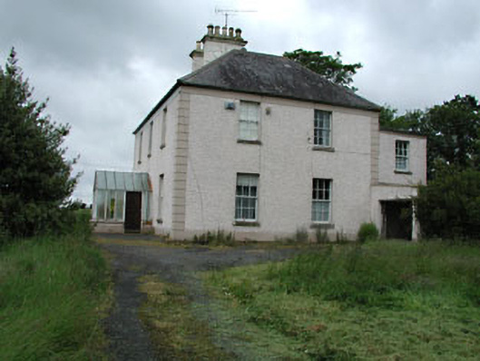 Seachnall Housefarm house · 1268 yd
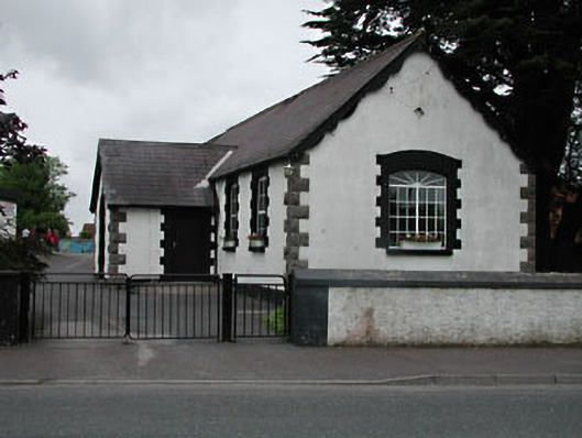 Dunshaughlin National Schoolschool · 1406 yd
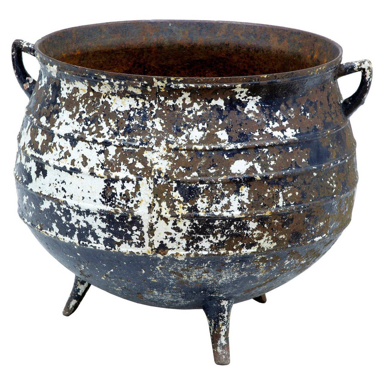 Famine PotMonument · 1429 yd
 Killeen CastleCastle, tower house · 2.6 mi
 Lismahon 1798 MemorialMonument · 3.0 mi
 Dunsany CastleCastle, unclassified · 3.3 mi
 Laurel WoodsWood · 3.3 mi
 Dunsany WoodWood · 3.3 mi
 1798 MemorialMemorial · 4.6 mi
 MullaghMountain / peak · 4.6 mi
 Emerald ParkHeritage attraction · 4.9 mi