
What is recorded here
Archaeological testing (12E0306) in an area of c. 7 ha (c. 18acres) c. 250m WSW of the core of Gorey town (WX007-033----) identified and excavated two fulachta fia, three burnt mounds, a pit and a corn-drying kiln. This ‘key-hole’-shaped kiln (dims 3.05m N-S; 1.41m E-W; max. D 0.35m at N) with evidence for in situ burning was from Area E c. 100m N of a small E-W stream or drain. It had four fills, two of which contained a large amount of charcoal but no samples of cereals were recorded. A sample of charcoal from the primary fill produced a C14 date of 358-203 Cal. BC. (Bailey 2013, 10, 11, 17) See this web-paged accessed on 18 September, 2015. http://www.excavations.ie/report/2012/Wexford/0023614/
Compiled by: Michael Moore
Date of upload: 29 September, 2015
The monument record does not grant public access. Check the route and ask the landowner before entering private land.
- What survives
- Recorded monument
Places near here
 Delta Cottagehouse · 119 yd
 Fulacht fia in Ramstown LowerFulacht fia · 125 yd
 1798 MonumentMemorial · 143 yd
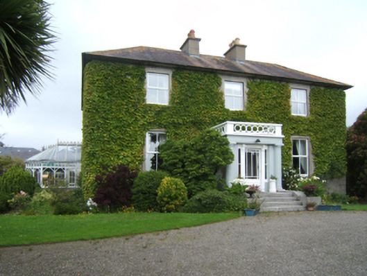 Merrionhouse · 219 yd
 Market HouseHeritage attraction · 658 yd
 Gorey HillMountain / peak · 959 yd
 Boiling WellHoly well · 1055 yd
 Carriganeagh RockMountain / peak · 1.6 mi
 Ballingarry WoodForest · 2.5 mi
 Barnadown WoodWood · 3.2 mi
 Saint Brigid's WellSpring · 6.1 mi
 Blue SchoolMemorial · 7.1 mi
Other information
Photo: Credit not shown in the picture search · Rights wording not checked; contact us if this picture should be removed