What is recorded here
Located on a slight S-facing slope in the village of Duncormick. Archaeological testing (06E0929) on the area SE of the motte (WX046-035001-) (dims. c. 80m NW-SE; c. 40m NE-SW) produced evidence of a kiln. This appears not to have been fired, but the three fills contained medieval pottery, and a coin provisionally identified as a short cross penny of King John from the uppermost fill would be dated to 1207-1210. (Dehane 2009, 554, Group B; 2009a)
Compiled by: Michael Moore
Date of upload: 19 August, 2013
The monument record does not grant public access. Check the route and ask the landowner before entering private land.
- What survives
- Recorded monument
Places near here
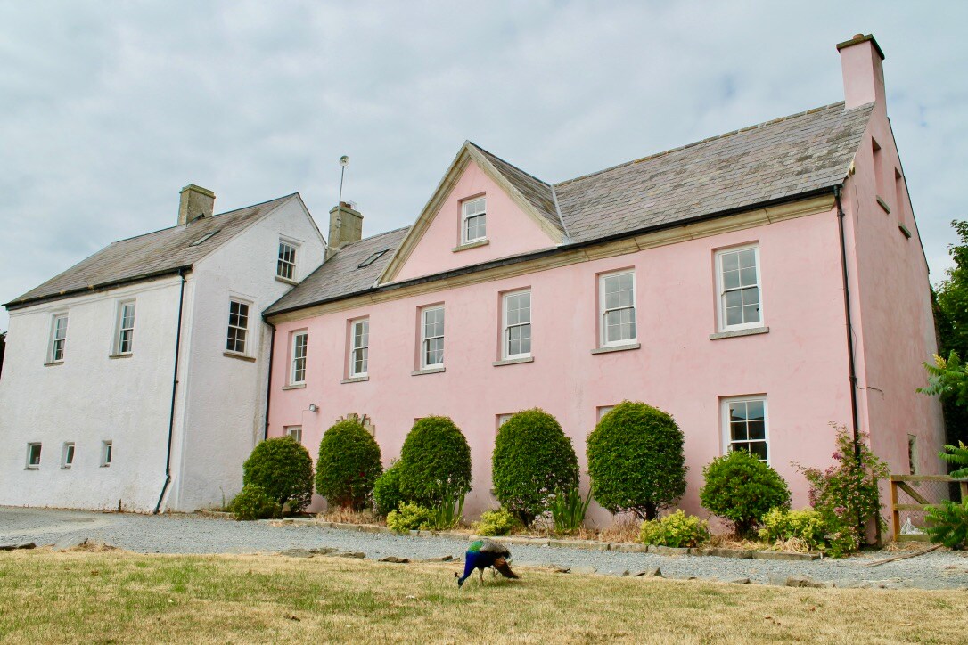 Embanked enclosureCastle, motte and bailey · 17 yd
 Grist MillRuins · 46 yd
 Field system in DuncormickField system · 70 yd
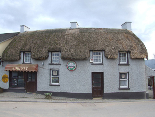 Sinnottfarm house · 89 yd
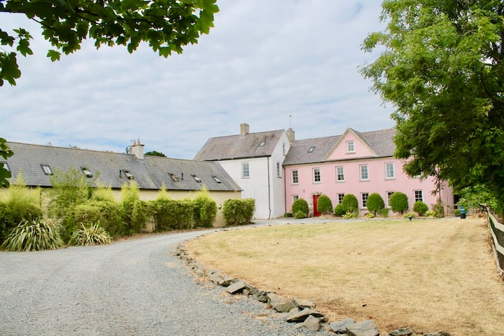 Castle (in ruins)Castle, tower house · 156 yd
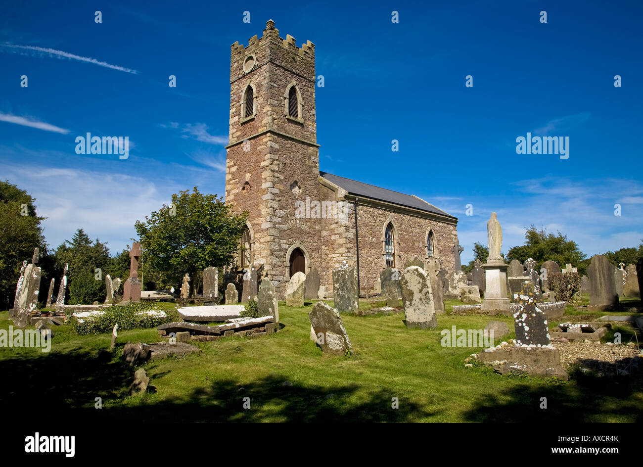 Ecclesiastical enclosure in DuncormickEcclesiastical enclosure · 169 yd
 Cull IslandIsland · 1.7 mi
 Ballyteigue BurrowNature reserve · 2.3 mi
 Cullenstown StrandBeach / strand · 2.8 mi
 Carrig-On-BannowVisitor information · 3.3 mi
 1798 MemorialMemorial · 3.3 mi
 Ballymadder PointHeadland · 3.7 mi