What is recorded here
Archaeological testing (04E1383) by A. Hayden on a large development site of about 8 hectares (c. 20 acres) uncovered evidence of furrows at its N limit, and more complex evidence of medieval fields at its SW edge (Hayden 2004). Further excavation under the same licence (Hayden 2005) recorded a rectangular stone-walled structure, this kiln and a sod-walled structure. (excavations.ie 2004:1207). The kiln is located c. 4m NW of the stone-footed building (ME051-044001-), and outside its cutting. This is a subrectangular pit (dims 3.2m N-S; 1.2m E-W; max. D 0.45m) with an oxidised base at its S end. It was filled with stony cultivation soil with patches of charcoal and oxidized clay. (Hayden 2005, 8)
Compiled by: Michael Moore
Date of upload: 9 November 2021
The monument record does not grant public access. Check the route and ask the landowner before entering private land.
- What survives
- Recorded monument
Places near here
 Church in Clonee (dunboyne By.)Church · 351 yd
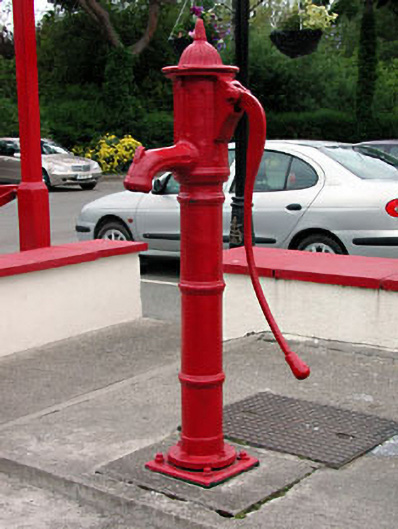 water pumpwater pump · 398 yd
 Enclosure in Clonee (dunboyne By.)Enclosure · 668 yd
 Enclosure in LoughsallaghEnclosure · 1430 yd
 CastleCastle, ringwork · 1.5 mi
 Church, GraveyardChurch · 1.9 mi
 TyrrelstownWood · 2.2 mi
 Graveyard in BuzzardstownGraveyard · 2.3 mi
 Luttrellstown CastleCastle · 2.4 mi
 GinkgoGinkgo · 2.7 mi
 Griffeen Valley WalkWalking route · 4.4 mi
 Saint Wolstan'sHeritage attraction · 5.2 mi