What is recorded here
On a S-facing slope in pasture. Excavated in 2006-7 in advance of the N9/N10 Kilcullen to Waterford Road Improvement Scheme. Excavation licence no. 2517, AR053-4 Area A-F. A range of kilns (19 in all) forming one element of a cluster of monuments found in close proximity to each other in an area c. 1.8ha with dates ranging from the Late Neolithic to the early medieval period. The kilns which were present all across the excavated area produced large quantities of cereal remains, indicating that they are likely to have been used in the drying of cereals, perhaps prior to storage or as part of crop-processing activities to separate grains from chaff. Different types of kiln structures appear to have been in use from the Iron Age to the Early Medieval period including keyhole-shaped, figure of eight and T-shaped examples. Although some kiln types appear to have been constructed during both the Iron Age and Early Medieval period, differences can be detected in the types of cereals being processed. (Channing 2009, 255-6, no. 1003; 2010a, 234, no. 881; 2010b)
Compiled by: Mary Tunney
Date of upload: 25 September 2013
The monument record does not grant public access. Check the route and ask the landowner before entering private land.
- What survives
- Recorded monument
Places near here
 farm housefarm house · 151 yd
 BaysrathArchaeological place · 264 yd
 Church in ruinsChurch · 427 yd
 Sheepstown Castle (site of)Archaeological place · 938 yd
 Ballyboodan RingfortArchaeological place · 1222 yd
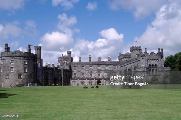 Danganbeg Castle (Site of)Castle, unclassified · 1292 yd
 Church (in Ruins), GraveyardChurch · 1.5 mi
 Turkey OakTurkey Oak · 1.6 mi
 Graveyard in DerrynahinchGraveyard · 2.3 mi
 Castlemorris Pheasant LoopWalking route · 2.5 mi
 Castlemorris WoodForest · 2.5 mi
 Kells Augustinian PrioryHeritage attraction · 3.6 mi