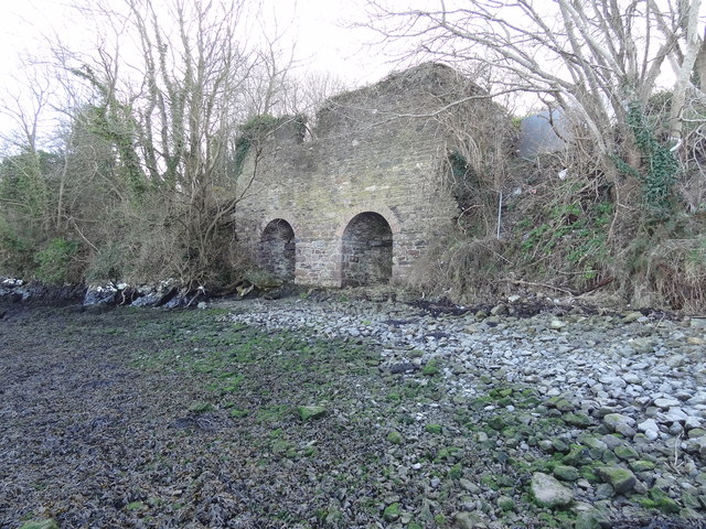
What is recorded here
Situated on a SE-facing slope. First identified in archaeological testing (02E0275) in advance of the N25 Waterford City by-pass (Russell (2006f), and fully excavated ((03E1216) as Adamstown 2 (Russell 2006h). An oval kiln (dims. 1m x 0.6m; D 0.15m) was in a an area with a concentration of pits and post-holes. Two N-S trenches or ditches c. 5m to the E are part of a post-medieval field system, and produced fragments of slag. A fragment of a lignite bracelet was also recovered. (Russell and Ginn 2011d)
Russell, I. (2006f) Site 3, Adamstown/Knockanagh. Testing. in I. Bennett (Ed.) Excavations 2003: summary accounts of excavations in Ireland, 489-90, No. 1851. Wordwell. Bray.
Russell, I. (2006h) Adamstown 2. Kiln. in I. Bennett (Ed.) Excavations 2003: summary accounts of excavations in Ireland, 491, No. 1853. Wordwell. Bray.
Russell, I. and V. Ginn (2011d) Adamstown 2, Co. Waterford. in J. Eogan and E. Shee-Twohig (2011) Cois tSiúire – nine thousand years of human activity in the lower Suir valley. Archaeological excavations on the N25 Waterford city bypass, vol. 2, 6-9. NRA road scheme: Monograph 8, Dublin
Compiled by: Michael Moore
Date of upload: 21 January 2011
The monument record does not grant public access. Check the route and ask the landowner before entering private land.
- What survives
- Recorded monument
Places near here
 Enclosure in Adamstown (middlethird By., Kilmeadan Par.)Enclosure · 96 yd
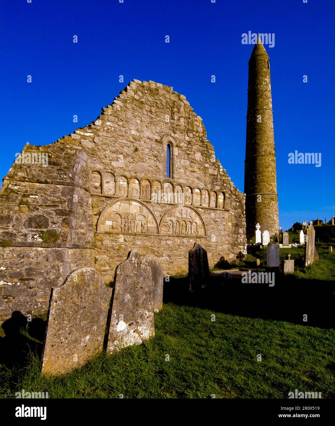 Kiln in Adamstown (middlethird By., Kilmeadan Par.)Kiln · 120 yd
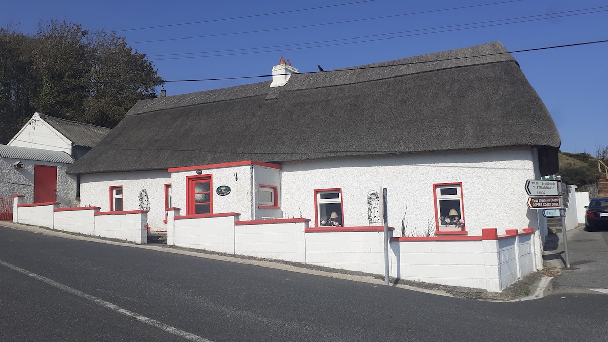 Hut site in Adamstown (middlethird By., Kilmeadan Par.)Hut site · 337 yd
 Monterey CypressMonterey Cypress · 697 yd
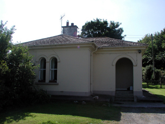 Whitfield Housegate lodge · 707 yd
 Sweet micheliaSweet michelia · 717 yd
 Mount Congreve GardensHeritage attraction · 888 yd
 Site of CastleCastle, unclassified · 1386 yd
 CastleCastle, unclassified · 1696 yd
 Waterford & Suir Valley RailwayHeritage attraction · 1.3 mi
 Ballyscanlon HillMountain / peak · 4.7 mi
 Donnell's HillMountain / peak · 5.3 mi
Other information
Photo: Credit not shown in the picture search · Rights wording not checked; contact us if this picture should be removed