What is recorded here
Situated in a sheltered position in the corner of a gently sloping field. Excavated in 2006 in advance of the N9/N10 Waterford to Knoctopher road scheme (Licence no. E2504). A keyhole-shaped cereal-drying kiln consisting of a long narrow flue extending W from a subcircular bowl (L 1.75m; Wth 1.4m; D 0.55m). Wheat grains from the primary fill yielded radiocarbon dates of cal AD 1270-1390 (Poz-25472). Two sherds of 12th-14th century pottery were recovered from the flue. A pit (D 0.44m; Wth 1.58m) was located at the W terminus of the kiln flue. It yielded a radiocarbon date of cal AD 1681-1953 (UBA-13985). Two areas of cobbled surface (c. 48m square) were identified to the S of the kiln and there were several stone-lined and stone-filled drains in the immediate vicinity. These were regarded as post-medieval. The kiln may be associated with a ringfort (KK040-069----) c. 40m to the W. (Monteith 2009, 283-4, no. 1089; Monteith 2010)
Compiled by: Mary Tunney
Date of upload: 23 October 2013
The monument record does not grant public access. Check the route and ask the landowner before entering private land.
- What survives
- Recorded monument
Places near here
 Rochestown Ringfort (rath)Archaeological place · 72 yd
 Rossinan ChurchArchaeological place · 412 yd
 Clonassy WoodForest · 1383 yd
 IndicatedPenal Mass station · 1747 yd
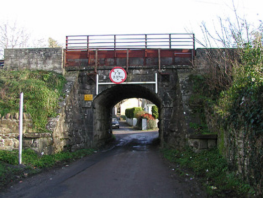 bridgebridge · 1.0 mi
 CastleCastle, unclassified · 1.2 mi
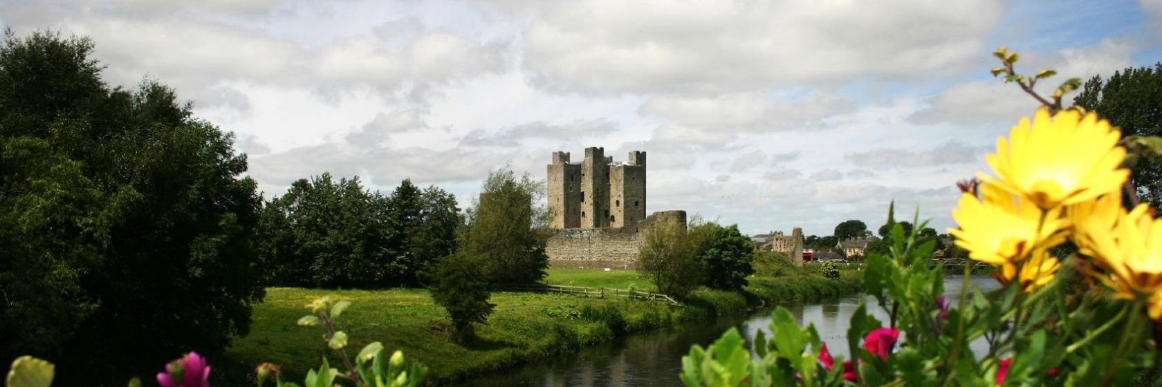 Dangan Castle (Site of)Castle, unclassified · 1.3 mi
 Tory HillMountain / peak · 1.7 mi
 Poulanassy WaterfallWaterfall · 1.8 mi
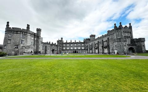 Ballynaboley WoodForest · 2.7 mi
 Mount Congreve GardensHeritage attraction · 7.5 mi
 Portlaw Heritage CentreMuseum · 7.5 mi