What is recorded here
This is the record for the corn-drying kiln excavated by James Eogan and Richard O'Brien (97E0075). It consisted of an oval pit (3.5m long, 2m wide and 0.55m deep). The N part of the pit was deepest and the clay in its base had been oxidised. Two parallel lines of five stake-holes were found in the base of the kiln. Two shallow trenches, which probably functioned as flues, extended from the SE and SW corners of the pit. (Eogan and O'Brien 2005)
Compiled by: Denis Power
Date of upload: 24 January 2013
The monument record does not grant public access. Check the route and ask the landowner before entering private land.
- What survives
- Recorded monument
Places near here
 Church (in Ruins)Church · 185 yd
 Rathdown Castle (in ruins)Castle, unclassified · 397 yd
 North BeachBeach / strand · 897 yd
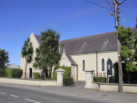 Saint Kilian's Catholic Churchchurch/chapel · 935 yd
 KnockrathFairy fort / ringfort · 1175 yd
 Greystones WayWalking route · 1521 yd
 The CoveBeach / strand · 1579 yd
 Bray Greystones Cliff WalkWalking route · 1.1 mi
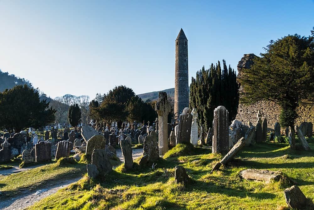 IndicatedHillfort · 1.1 mi
 Kindlestown WoodForest · 1.1 mi
 Kindlestown Castle (in ruins)Castle, hall-house · 1.2 mi
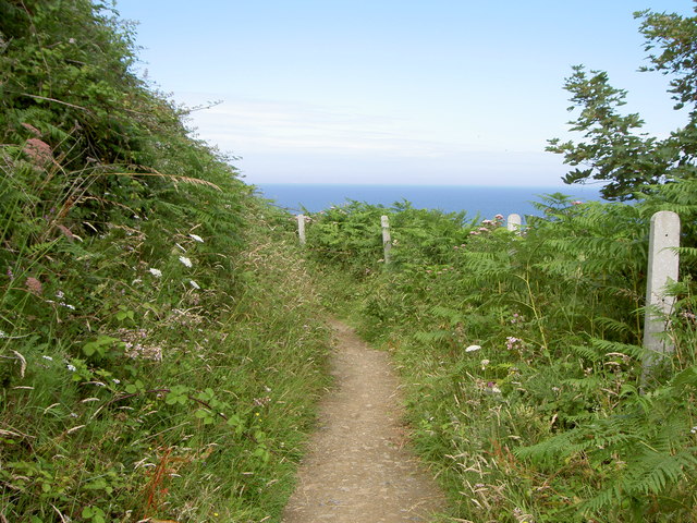 Bray Greystones ViewViewpoint · 1.3 mi